Coreto da Igreja de Ossela
Coreto da Igreja de Ossela is a bandstand in Ossela, Oliveira de Azeméis Municipality, Aveiro District. Coreto da Igreja de Ossela is situated nearby to the church Igreja Matriz de São Pedro de Ossela, as well as near Capela de Santo António.| Tap on a place to explore it |
Places of Interest Nearby
Highlights include Estádio Carlos Osório and Igreja Matriz de São Pedro de Castelões.
Estádio Carlos Osório
Stadium

Photo: HBrunoK, Public domain.
Estádio Carlos Osório is a stadium in Oliveira de Azeméis, Aveiro, Portugal. It is currently used for football matches and is the home ground of Liga de Honra side U.D. Estádio Carlos Osório is situated 3½ km northwest of Coreto da Igreja de Ossela.
Igreja Matriz de São Pedro de Castelões
Church

Photo: Ricardo Saraiva de Almeida, CC BY-SA 4.0.
Igreja Matriz de São Pedro de Castelões is a church, which is situated 3 km east of Coreto da Igreja de Ossela.
Câmara Municipal de Oliveira de Azeméis
Town hall
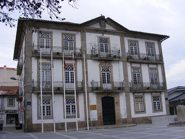
Photo: Piquito, Public domain.
Câmara Municipal de Oliveira de Azeméis is a town hall, which is situated 4 km west of Coreto da Igreja de Ossela.
Places in the Area
Nearby places include São Pedro de Castelões and Vila Chã.
São Pedro de Castelões
Town

Photo: BrunoRino, CC BY-SA 3.0.
São Pedro de Castelões is a town, which is situated 3½ km east of Coreto da Igreja de Ossela.
Vila Chã
Village
Vila Chã is a civil parish in the Portuguese municipality of Vale de Cambra with a population of 4,133. Vila Chã is situated 4 km northeast of Coreto da Igreja de Ossela.
Travanca
Village

Photo: Wikimedia, CC BY-SA 4.0.
Travanca is a village, which is situated 4½ km west of Coreto da Igreja de Ossela.
Coreto da Igreja de Ossela
- Type: Bandstand
- Categories: building and recreation area
- Location: Ossela, Oliveira de Azeméis Municipality, Aveiro District, Portugal, Iberia, Europe
- View on OpenStreetMap
Latitude
40.82857° or 40° 49′ 43″ northLongitude
-8.43347° or 8° 26′ 1″ westOpen location code
8CGHRHH8+CJOpenStreetMap ID
way 1083163894OpenStreetMap feature
building=yesOpenStreetMap feature
leisure=bandstand
This page is based on OpenStreetMap, Wikidata, and Wikimedia Commons.
We’d love your help improving our open data sources. Thank you for contributing.
Satellite Map
Discover Coreto da Igreja de Ossela from above in high-definition satellite imagery.
Notable Places Nearby
Highlights include Igreja Matriz de São Pedro de Ossela and Capela de Santo António.
Nearby Places
Explore places such as Escola Básica de Santo António and Unidade de Saúde de Ossela.
Portugal: Must-Visit Destinations
Delve into Lisbon, Caldas da Rainha, Porto, and Coimbra.
Curious Bandstands to Discover
Uncover intriguing bandstands from every corner of the globe.
About Mapcarta. Data © OpenStreetMap contributors and available under the Open Database License". Text is available under the CC BY-SA 4.0 license, except for photos, directions, and the map. Photo: Tsy1980, CC BY-SA 4.0.