Jyrkänteenpuisto
Jyrkänteenpuisto is a playground in Tampere, Pirkanmaa. Jyrkänteenpuisto is situated nearby to the playground Harppipuisto, as well as near the athletics track Trial-polkupyöräilypuisto.| Tap on a place to explore it |
Places of Interest Nearby
Highlights include Messukylä Church and Messukylä Old Church.

Messukylän kirjasto
Library

Photo: Superkissan, CC BY-SA 4.0.
Messukylän kirjasto is a library, which is situated 1½ km north of Jyrkänteenpuisto.
Places in the Area
Nearby places include Viiala and Messukylä.

Messukylä
Suburb
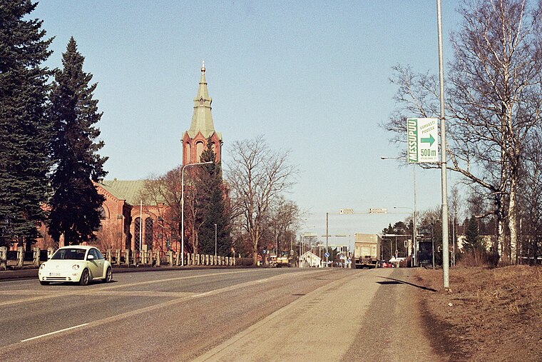
Photo: Methem, Public domain.
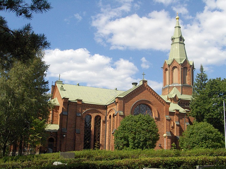
Messukylä is a former municipality of Finland which was annexed by the city of Tampere in 1947. The medieval stone church in Messukylä is the oldest building in Tampere.
Kaukajärvi
Suburb

Photo: Cryonic07, CC BY-SA 4.0.
Kaukajärvi is a district in Tampere, Finland. It is located between the Highway 9 and the three-kilometer-long Lake Kaukajärvi, where district gets its name.
Jyrkänteenpuisto
- Type: Playground
- Category: recreation area
- Location: Tampere, Tampere, Pirkanmaa, Finnish Lakeland, Finland, Nordic countries, Europe
- View on OpenStreetMap
Latitude
61.47848° or 61° 28′ 43″ northLongitude
23.86042° or 23° 51′ 38″ eastOpen location code
9GH5FVH6+95OpenStreetMap ID
way 1083187086OpenStreetMap feature
leisure=playground
This page is based on OpenStreetMap, Wikidata, and Wikimedia Commons.
We’d love your help improving our open data sources. Thank you for contributing.
Satellite Map
Discover Jyrkänteenpuisto from above in high-definition satellite imagery.
Notable Places Nearby
Highlights include Harppipuisto and Trial-polkupyöräilypuisto.
Nearby Places
Explore places such as Etu-Hankkion katu and Messukylän pohjavesilaitos.
Pirkanmaa: Must-Visit Destinations
Delve into Nokia, Valkeakoski, Akaa, and Ylöjärvi.
Curious Playgrounds to Discover
Uncover intriguing playgrounds from every corner of the globe.
About Mapcarta. Data © OpenStreetMap contributors and available under the Open Database License". Text is available under the CC BY-SA 4.0 license, except for photos, directions, and the map. Photo: Kulmalukko, CC BY-SA 4.0.