Chicken coop
Chicken coop is a farm in Aruba. Chicken coop is situated nearby to Parke Natural Cunucu Abao, as well as near the pitch S.v Bubali.| Tap on a place to explore it |
Places of Interest Nearby
Highlights include Eagle Beach and National Archaeological Museum Aruba.
Eagle Beach
Beach

Photo: Rickzwart, CC BY-SA 3.0.
Eagle Beach is a beach and neighbourhood of Oranjestad, Aruba. The neighbourhood is famous for its many low-rise resorts and wide public beach. It is the widest beach of Aruba. and has soft white sand. It has been rated one of the best beaches in the world. Eagle Beach is situated 1½ km west of Chicken coop.
National Archaeological Museum Aruba
Museum

Photo: Natalie Liao, CC BY-SA 3.0.
The National Archaeological Museum Aruba is an archaeological museum in the city of Oranjestad in Aruba. The collections cover from 2500 BCE to the 19th century. National Archaeological Museum Aruba is situated 2½ km south of Chicken coop.
Royal Aruba Aloe

Photo: Caribiana, CC BY-SA 4.0.
Royal Aruba Aloe was founded in 1890 by Cornelis Eman, and is a company in which cultivates and produces aloe derived products in Aruba, in the Dutch Caribbean. Royal Aruba Aloe is situated 1 km east of Chicken coop.
Places in the Area
Nearby places include Rancho and Noord.
Rancho
Neighborhood
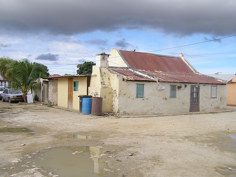
Photo: Celeivrolijk, CC BY-SA 3.0.
Rancho, located near Paardenbaai, is one of the old districts of Oranjestad, the capital of Aruba. Originally a fishing village, Rancho has evolved into a neighbourhood of Oranjestad. Rancho is situated 2½ km south of Chicken coop.
Noord

Photo: HannahGR91, CC BY-SA 3.0.
Noord is a town and region in Aruba. This town is known for its low rise and high rise hotels, restaurants, beaches, malls, the California Lighthouse, and other places of attraction.
Oranjestad

Photo: ויקיג’אנקי, CC BY-SA 3.0.
Oranjestad is the capital and largest city of Aruba. The city is home to some of the island's local residents and also many governmental buildings. Along the main "drag" you will find mostly tourist walking around and shopping and can also see the cruise ships that bring more and more external tourism into the island everyday.
Chicken coop
- Type: Farm
- Category: agriculture
- Location: Aruba, Caribbean, North America
- View on OpenStreetMap
Latitude
12.54374° or 12° 32′ 38″ northLongitude
-70.04594° or 70° 2′ 45″ westOpen location code
774FGXV3+FJOpenStreetMap ID
way 1085283326OpenStreetMap feature
landuse=farmyard
This page is based on OpenStreetMap, Wikidata, and Wikimedia Commons.
We’d love your help improving our open data sources. Thank you for contributing.
Satellite Map
Discover Chicken coop from above in high-definition satellite imagery.
Places with the Same Name
Discover other places named “Chicken coop”.
Notable Places Nearby
Highlights include Parke Natural Cunucu Abao and S.v Bubali.
Nearby Places
Explore places such as Baryo Fiesta and Li Yuan.
Aruba: Must-Visit Destinations
Delve into Oranjestad, Arikok National Park, Noord, and Palm Beach.
Curious Farms to Discover
Uncover intriguing farms from every corner of the globe.
About Mapcarta. Data © OpenStreetMap contributors and available under the Open Database License". Text is available under the CC BY-SA 4.0 license, except for photos, directions, and the map. Photo: Serge Melki, CC BY 2.0.