Rising Stars
Rising Stars is a school building in Harris County, Texas which is located on Colquitt Street. Rising Stars is situated nearby to University of Saint Thomas, as well as near the health club Jerabeck Activity and Athletic Center.| Tap on a place to explore it |
- Type: School building
- Also known as: “Celt Pantry”
- Address: 1105 Colquitt Street, Houston, TX 77006
Places of Interest Nearby
Highlights include Rothko Chapel and Byzantine Fresco Chapel.
Rothko Chapel
Museum

Photo: Wikimedia, Public domain.
The Rothko Chapel is a non-denominational chapel in Houston, Texas, founded by John and Dominique de Menil. The interior serves not only as a chapel, but also serves as the display framework for a major work of modern art: on its walls are fourteen paintings by Mark Rothko in varying hues of black. Rothko Chapel is situated 1,300 feet northwest of Rising Stars.
Byzantine Fresco Chapel
Museum

Photo: Argos’Dad, CC BY-SA 3.0.
The Byzantine Fresco Chapel is a part of the Menil Collection in Houston, Texas, near the University of St. Thomas. From February 1997 to February 2012, it displayed the only intact Byzantine frescoes of this size and importance in the western hemisphere. Byzantine Fresco Chapel is situated 820 feet northwest of Rising Stars.
Chapel of St. Basil
Church
The Chapel of St. Basil is a chapel on the campus of the University of St. Thomas in Houston, Texas, designed by Philip Johnson in 1997. Chapel of St. Basil is situated 1,200 feet north of Rising Stars.
Places in the Area
Nearby places include Houston Museum District and Midtown.
Houston Museum District
Suburb
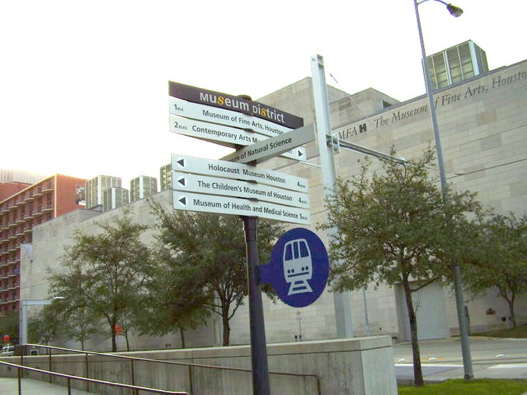
Photo: WhisperToMe, Public domain.
The Houston Museum District is an association of 21 museums, cultural centers and community organizations located in Houston, Texas, dedicated to promoting art, science, history, and culture.
Midtown
Suburb

Photo: WhisperToMe, Public domain.
Midtown is a central neighborhood of Houston, located west-southwest of Downtown. Separated from Downtown by an elevated section of Interstate 45, Midtown is characterized by a continuation of Downtown's square grid street plan, anchored by Main Street and the METRORail Red Line.
Fourth Ward
Suburb

Photo: WhisperToMe, Public domain.
Fourth Ward is one of the historic six wards of Houston, Texas, United States. The Fourth Ward is located inside the 610 Loop directly west of and adjacent to Downtown Houston. Fourth Ward is situated 1½ miles northeast of Rising Stars.
Rising Stars
- Categories: building and education
- Location: Harris County, Texas, United States, North America
- View on OpenStreetMap
Latitude
29.73516° or 29° 44′ 7″ northLongitude
-95.39315° or 95° 23′ 35″ westOpen location code
76X6PJP4+3POpenStreetMap ID
way 1088303309OpenStreetMap feature
building=school
This page is based on OpenStreetMap, Wikidata, and Wikimedia Commons.
We’d love your help improving our open data sources. Thank you for contributing.
Satellite Map
Discover Rising Stars from above in high-definition satellite imagery.
Notable Places Nearby
Highlights include University of Saint Thomas and Jerabeck Activity and Athletic Center.
Nearby Places
Explore places such as William J. Flynn Center for Irish Studies and Center for Thomistic Studies, Philosophy.
Texas: Must-Visit Destinations
Delve into Houston, Austin, Dallas, and San Antonio.
Curious Schools to Discover
Uncover intriguing schools from every corner of the globe.
About Mapcarta. Data © OpenStreetMap contributors and available under the Open Database License". Text is available under the CC BY-SA 4.0 license, except for photos, directions, and the map. Photo: Wikimedia, CC0.