Baugebiet Am Glockenhof
Baugebiet Am Glockenhof is in Schorndorf, Cham, Bavaria. Baugebiet Am Glockenhof is situated nearby to the church Maria Immaculata, as well as near the peak Geißberg.| Tap on a place to explore it |
Places of Interest Nearby
Highlights include Maria Immaculata and Burgruine Neuhaus.
Maria Immaculata
Church

Photo: Konrad Lackerbeck, Public domain.
Maria Immaculata is a church, which is situated 1 km south of Baugebiet Am Glockenhof.
Burgruine Neuhaus
Ruins

Photo: Flodur63, CC BY-SA 4.0.
Burgruine Neuhaus is a ruins, which is situated 3 km south of Baugebiet Am Glockenhof.
Places in the Area
Nearby places include Roding and Cham.
Roding
Town
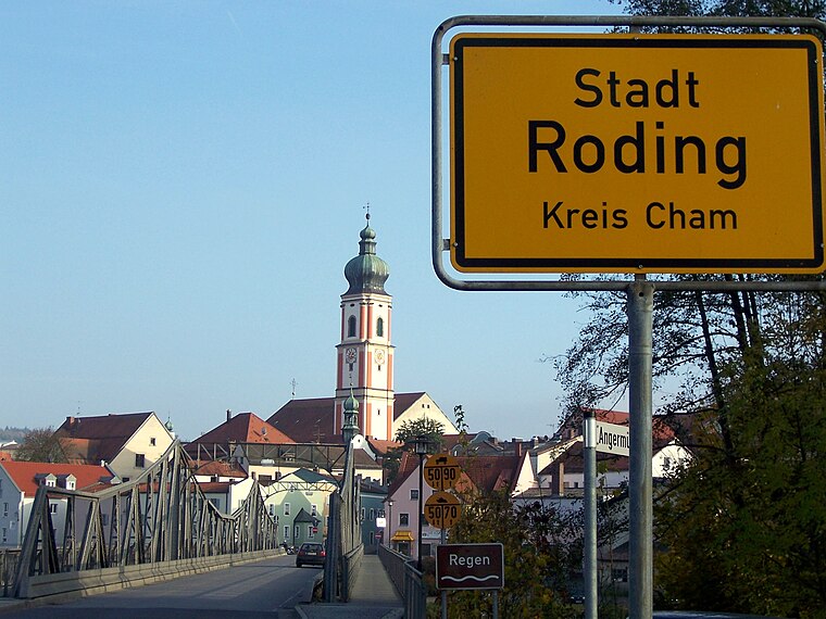
Photo: Wiki82, Public domain.
Roding is a town in the district of Cham, in Bavaria, Germany, near the Czech border. Roding is situated 7 km northwest of Baugebiet Am Glockenhof.
Cham
Photo: Romanist, CC BY-SA 4.0.
Cham is a city in Upper Palatinate in Bavaria, Germany. Its name is pronounced quite similar to the English word "calm" and not with a German "ch" sound.
Pösing
Village

Photo: Pedro ximenez, CC BY-SA 3.0 de.
Pösing is a municipality in the district of Cham in Bavaria in Germany. Pösing is situated 8 km northwest of Baugebiet Am Glockenhof.
Baugebiet Am Glockenhof
- Type: Construction
- Location: Schorndorf, Cham, Upper Palatinate, Bavaria, Germany, Central Europe, Europe
- View on OpenStreetMap
Latitude
49.16727° or 49° 10′ 2″ northLongitude
12.59545° or 12° 35′ 44″ eastOpen location code
8FXJ5H8W+W5OpenStreetMap ID
way 1092269395OpenStreetMap feature
landuse=construction
This page is based on OpenStreetMap, Wikidata, and Wikimedia Commons.
We’d love your help improving our open data sources. Thank you for contributing.
Satellite Map
Discover Baugebiet Am Glockenhof from above in high-definition satellite imagery.
Notable Places Nearby
Highlights include Geißberg and Füchsenbuhl.
Nearby Places
Explore places such as Schorndorf, Lilienstraße and Schorndorf, Orleitenweg.
Upper Palatinate: Must-Visit Destinations
Delve into Regensburg, Amberg, Cham, and Schwandorf.
Curious Places to Discover
Uncover intriguing places from every corner of the globe.
About Mapcarta. Data © OpenStreetMap contributors and available under the Open Database License". Text is available under the CC BY-SA 4.0 license, except for photos, directions, and the map. Photo: Wikimedia, CC0.