David’s Gym
David’s Gym is a health club in Mexico State, Central Mexico which is located on Calle 4. David’s Gym is situated nearby to the recreation area Parque Asturias, as well as near the marketplace Mercado San Juan Tlalpizahuac.| Tap on a place to explore it |
Places of Interest Nearby
Highlights include La Paz metro station.
La Paz metro station
Metro station
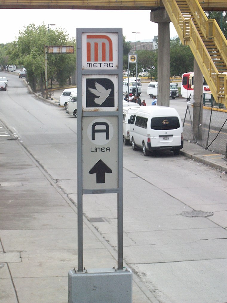 La Paz is a Mexico City Metro station that serves Line A. It is the line's terminal station. It opened, along with the other stations along Line A, on 12 August 1991. La Paz metro station is situated 3 km north of David’s Gym.
Places in the Area
Nearby places include Santa Catarina Yecahuízotl and Los Reyes Acaquilpan.
Santa Catarina Yecahuízotl
Village
 Santa Catarina Yecahuízotl is a village, which is situated 2½ km southwest of David’s Gym.
Los Reyes Acaquilpan
Town

Photo: Ivan03, CC BY-SA 4.0.
Los Reyes Acaquilpan is a town, which is situated 4½ km northwest of David’s Gym.
Santiago Acahualtepec
Town
Santiago Acahualtepec is one of the natives towns in Iztapalapa, located east of Mexico City. It currently borders the town of Santa Martha Acatitla; with the colonias 1st and 2nd Ampliación of Santiago Acahualtepec, Miguel de la Madrid, Ixtlahuacán, and Lomas de Zaragoza, which were part of the farming lands of the natives of the town of Santiago. Santiago Acahualtepec is situated 6 km northwest of David’s Gym.
David’s Gym
- Type: Health club
- Address: Calle 4, San Juan Tlapizahuac, 56618
- Categories: gym, building, recreation area, and sports location
- Location: Mexico State, Central Mexico, Mexico, North America
- View on OpenStreetMap
Latitude
19.32595° or 19° 19′ 33″ northLongitude
-98.95157° or 98° 57′ 6″ westOpen location code
76F382GX+99OpenStreetMap ID
way 1092684040OpenStreetMap feature
building=yesOpenStreetMap feature
leisure=fitness_centreOpenStreetMap feature
sport=fitness
This page is based on OpenStreetMap, Wikidata, and Wikimedia Commons.
We’d love your help improving our open data sources. Thank you for contributing.
Satellite Map
Discover David’s Gym from above in high-definition satellite imagery.
Notable Places Nearby
Highlights include Parque Asturias and Mercado San Juan Tlalpizahuac.
Nearby Places
Explore places such as Polimédica Quirurgica Materno-Infantil and Tiendas 3B.
Mexico State: Must-Visit Destinations
Delve into Tequixquiac, Toluca, Teotihuacan, and Ecatepec.
Curious Health Clubs to Discover
Uncover intriguing health clubs from every corner of the globe.
About Mapcarta. Data © OpenStreetMap contributors and available under the Open Database License". Text is available under the CC BY-SA 4.0 license, except for photos, directions, and the map. Photo: Wikimedia, CC0.