Bergcamping Lenggries
Bergcamping Lenggries is a campsite in Lenggries, Bad Tölz-Wolfratshausen, Bavaria. Bergcamping Lenggries is situated nearby to Drachen Landeplatz, as well as near the government office ehemalige Kaserne „Prinz Heinrich“.| Tap on a place to explore it |
Places of Interest Nearby
Highlights include Rathaus Lenggries and St. Jakobus der Ältere.
Rathaus Lenggries
Town hall

Photo: AHert, CC BY-SA 3.0.
Rathaus Lenggries is a town hall, which is situated 1 km east of Bergcamping Lenggries.
St. Jakobus der Ältere
Church

Photo: Ricardalovesmonuments, CC BY-SA 4.0.
St. Jakobus der Ältere is a church, which is situated 1 km east of Bergcamping Lenggries.
Kalkofen
Building
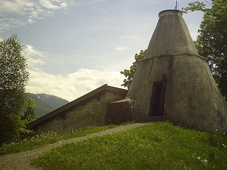
Photo: Asentreu, Public domain.
Kalkofen is a building, which is situated 650 metres northeast of Bergcamping Lenggries.
Places in the Area
Nearby places include Wackersberg and Gaißach.
Wackersberg
Village

Photo: Asentreu, Public domain.
Wackersberg is a municipality in the district of Bad Tölz-Wolfratshausen in Bavaria in Germany. Wackersberg is situated 6 km north of Bergcamping Lenggries.
Gaißach
Village

Photo: Asentreu, Public domain.
Gaißach is a municipality in the district of Bad Tölz-Wolfratshausen in Bavaria in Germany. Gaißach is situated 7 km north of Bergcamping Lenggries.
Bad Tölz
Town

Photo: MarkusZi, CC BY-SA 3.0.
Bad Tölz is a town in Bavaria, Germany and the administrative center of the Bad Tölz-Wolfratshausen district. Bad Tölz is situated 9 km north of Bergcamping Lenggries.
Bergcamping Lenggries
- Type: Campsite
- Categories: tourism, recreation area, and camping
- Location: Lenggries, Bad Tölz-Wolfratshausen, Upper Bavaria, Bavaria, Germany, Central Europe, Europe
- View on OpenStreetMap
Latitude
47.68042° or 47° 40′ 50″ northLongitude
11.5631° or 11° 33′ 47″ eastOpen location code
8FVHMHJ7+56OpenStreetMap ID
way 109281516OpenStreetMap feature
landuse=recreation_groundOpenStreetMap feature
tourism=camp_site
This page is based on OpenStreetMap, Wikidata, and Wikimedia Commons.
We’d love your help improving our open data sources. Thank you for contributing.
Satellite Map
Discover Bergcamping Lenggries from above in high-definition satellite imagery.
Notable Places Nearby
Highlights include Drachen Landeplatz and ehemalige Kaserne „Prinz Heinrich“.
Nearby Places
Explore places such as Geigerstein and Blomberg.
Upper Bavaria: Must-Visit Destinations
Delve into Munich, Ingolstadt, Rosenheim, and Dachau.
Curious Campsites to Discover
Uncover intriguing campsites from every corner of the globe.
About Mapcarta. Data © OpenStreetMap contributors and available under the Open Database License". Text is available under the CC BY-SA 4.0 license, except for photos, directions, and the map. Photo: Aconcagua, CC BY-SA 3.0.