UHPA
UHPA is a hospital building in Prilly, Ouest Lausannois District, Vaud. UHPA is situated nearby to the hospital Libra/Mensa/Pyxis/Gaia/Gaia/Ulysse/Artémis, as well as near Jaspers/Ulysse/Octant/Athena/Epione.| Tap on a place to explore it |
Places of Interest Nearby
Highlights include Lausanne Airport and Hospital of Cery.
Lausanne Airport
Aerodrome

Photo: Carsten Steger, CC BY-SA 4.0.
Lausanne Airfield, also known as Lausanne-Blécherette Airport, is a small civil aerodrome located in the north of Lausanne, Switzerland. It has no scheduled commercial traffic and is used for general aviation.
Hospital of Cery
Hospital
The Lausanne University Hospital, in Lausanne, is one of the five university hospitals in Switzerland. The Lausanne University Hospital is linked to the Faculty of Biology and Medicine of the University of Lausanne. Hospital of Cery is situated 280 metres northwest of UHPA.
Stade de la Tuilière
Stadium

Photo: Christophe95, CC BY-SA 4.0.
Stade de la Tuilière is a football stadium in Lausanne, Switzerland. It is the current home of the football club FC Lausanne-Sport. The stadium has a capacity of 12,544. Stade de la Tuilière is situated 1 km east of UHPA.
Places in the Area
Nearby places include Prilly and Jouxtens-Mézery.
Prilly
Town

Photo: Sa-se, CC BY-SA 3.0.
Prilly is a municipality in Switzerland in the canton of Vaud, located in the district of Ouest Lausannois. It is one of the western suburbs of the city of Lausanne.
Jouxtens-Mézery
Village

Photo: Abaddon1337, CC BY-SA 3.0.
Jouxtens-Mézery is a municipality in the district of Lausanne in the canton of Vaud in Switzerland. It is a suburb of the city of Lausanne.
Renens
Town
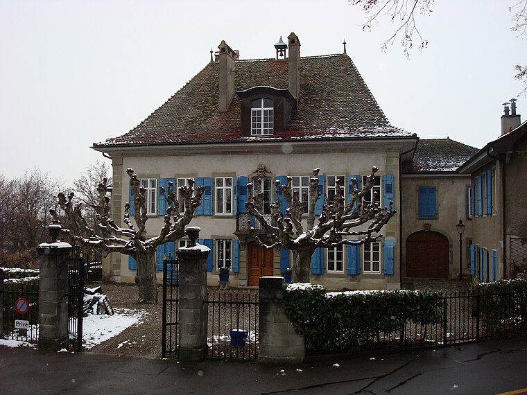
Photo: Vkeller, Public domain.
Renens is a municipality in the canton of Vaud, Switzerland. It is located in the district of Ouest Lausannois, and is a suburb of the city of Lausanne.
UHPA
- Type: Hospital building
- Categories: building and health care
- Location: Prilly, Ouest Lausannois District, Vaud, Western Switzerland, Switzerland, Central Europe, Europe
- View on OpenStreetMap
Latitude
46.54497° or 46° 32′ 42″ northLongitude
6.60943° or 6° 36′ 34″ eastOpen location code
8FR8GJV5+XQOpenStreetMap ID
way 109394650OpenStreetMap feature
building=hospital
This page is based on OpenStreetMap, Wikidata, and Wikimedia Commons.
We’d love your help improving our open data sources. Thank you for contributing.
Satellite Map
Discover UHPA from above in high-definition satellite imagery.
Places with the Same Name
Discover other places named “UHPA”.
Notable Places Nearby
Highlights include Libra/Mensa/Pyxis/Gaia/Gaia/Ulysse/Artémis and Jaspers/Ulysse/Octant/Athena/Epione.
Nearby Places
Explore places such as Crery-Gériatrie and Hôpital Cery.
Vaud: Must-Visit Destinations
Delve into Lausanne, Montreux, Nyon, and Vevey.
Curious Places to Discover
Uncover intriguing places from every corner of the globe.
About Mapcarta. Data © OpenStreetMap contributors and available under the Open Database License". Text is available under the CC BY-SA 4.0 license, except for photos, directions, and the map. Photo: Annickjaquillard, CC BY-SA 4.0.