Stade des Marais
Stade des Marais is a sports venue in Belle-Église, Arrondissement of Senlis, Hauts-de-France. Stade des Marais is situated nearby to the sports venue Tir à l’arc, as well as near the village Le Mesnil-en-Thelle.| Tap on a place to explore it |
Places of Interest Nearby
Highlights include Chambly station and Église Saint-Georges de Ronquerolles.
Chambly station
Railway station
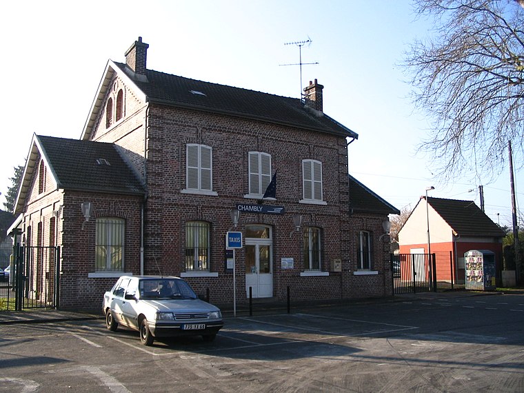
Photo: Benjism89, CC BY-SA 3.0.
Chambly station is a railway station located 500 metres from the centre of the commune of Chambly, France. It is on the Épinay-Villetaneuse–Le Tréport-Mers railway and is served by TER Hauts-de-France trains from Paris to Beauvais. Chambly station is situated 2 km southeast of Stade des Marais.
Église Saint-Georges de Ronquerolles
Church
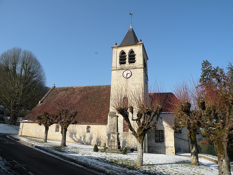
Photo: Chatsam, CC BY-SA 3.0.
Église Saint-Georges de Ronquerolles is a church, which is situated 1½ km southwest of Stade des Marais.
Église Notre-Dame de Chambly
Church

Photo: P.poschadel, CC BY-SA 3.0.
Église Notre-Dame de Chambly is a church, which is situated 1½ km southeast of Stade des Marais.
Places in the Area
Nearby places include Le Mesnil-en-Thelle and Persan.
Le Mesnil-en-Thelle
Village

Photo: Chatsam, CC BY-SA 3.0.
Le Mesnil-en-Thelle is a commune in the Oise department in northern France. Le Mesnil-en-Thelle is situated 4 km east of Stade des Marais.
Persan
Town

Photo: P.poschadel, CC BY-SA 2.0 fr.
Persan is a commune in the Val-d'Oise department, Île-de-France, northern France. Persan–Beaumont station has rail connections to Pontoise, Creil, Sarcelles and Paris. Persan is situated 4½ km southeast of Stade des Marais.
L’Isle-Adam
Town

Photo: Siren-Com, CC BY-SA 3.0.
L'Isle-Adam is a commune in the Val-d'Oise department in Île-de-France in northern France. The small town beside the river Oise has a long sandy beach and attracts visitors from Paris. L’Isle-Adam is situated 7 km south of Stade des Marais.
Stade des Marais
- Type: Sports venue
- Categories: recreation area and sports location
- Location: Belle-Église, Arrondissement of Senlis, Oise, Hauts-de-France, France, Europe
- View on OpenStreetMap
Latitude
49.17822° or 49° 10′ 42″ northLongitude
2.23117° or 2° 13′ 52″ eastOpen location code
8FX456HJ+7FOpenStreetMap ID
way 1094257947OpenStreetMap feature
leisure=sports_centre
This page is based on OpenStreetMap, Wikidata, and Wikimedia Commons.
We’d love your help improving our open data sources. Thank you for contributing.
Satellite Map
Discover Stade des Marais from above in high-definition satellite imagery.
Notable Places Nearby
Highlights include Tir à l’arc and Parc de la Marnière.
Nearby Places
Explore places such as Moulin Deligne and Les Grands Prés.
Hauts-de-France: Must-Visit Destinations
Delve into Lille, Dunkirk, Calais, and Amiens.
Curious Sports Venues to Discover
Uncover intriguing sports venues from every corner of the globe.
About Mapcarta. Data © OpenStreetMap contributors and available under the Open Database License". Text is available under the CC BY-SA 4.0 license, except for photos, directions, and the map. Photo: BastienM, CC BY-SA 3.0.