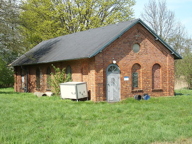
Solarthermieanlage
Solarthermieanlage is a power station in Greifswald, Mecklenburg-Western Pomerania. Solarthermieanlage is situated nearby to the power station HKW Helmshäger Berg, as well as near the community center Vereinshaus.| Tap on a place to explore it |
- Type: Power station
- Description: solar thermal collector field in the city of Greifswald, Vorpommern district, Germany
- Address: Greifswald
Places of Interest Nearby
Highlights include Greifswald Süd station and Church in Weitenhagen.
Greifswald Süd station
Railway stop

Photo: Cirdan, CC BY-SA 3.0.
Greifswald Süd is a railway station in the town of Greifswald, Mecklenburg-Vorpommern, Germany. The station lies of the Angermünde–Stralsund railway and the train services are operated by DB Regio Nordost and Ostdeutsche Eisenbahn. Greifswald Süd station is situated 1 km northwest of Solarthermieanlage.
Church in Weitenhagen
Church

Photo: Klugschnacker, CC BY-SA 3.0.
Church in Weitenhagen is situated 2 km south of Solarthermieanlage.
Max Planck Institute of Plasma Physics
Research institute

Photo: Bernd vdB, CC BY-SA 3.0.
Max Planck Institute of Plasma Physics is a research institute, which is situated 1½ km east of Solarthermieanlage.
Places in the Area
Nearby places include Koitenhagen and Weitenhagen.
Weitenhagen
Village

Photo: Assenmacher, CC BY-SA 4.0.
Weitenhagen is a municipality in the Vorpommern-Greifswald district, in Mecklenburg-Western Pomerania, Germany. The former municipality Diedrichshagen was merged into Weitenhagen in May 2019.

Solarthermieanlage
- Category: industry
- Location: Greifswald, Vorpommern-Greifswald, Mecklenburg-Western Pomerania, Germany, Central Europe, Europe
- View on OpenStreetMap
Latitude
54.06944° or 54° 4′ 10″ northLongitude
13.40318° or 13° 24′ 11″ eastInception
September 15th, 2022Operator
Stadtwerke Greifswald GmbHOpen location code
9F6M3C93+Q7OpenStreetMap ID
way 1094718835Wikidata ID
Q112624908
This page is based on OpenStreetMap, Wikidata, and Wikimedia Commons.
We’d love your help improving our open data sources. Thank you for contributing.
Satellite Map
Discover Solarthermieanlage from above in high-definition satellite imagery.
In Other Languages
“Solarthermieanlage” goes by many names.
- German: “Solarthermieanlage in Greifswald”
Notable Places Nearby
Highlights include HKW Helmshäger Berg and Vereinshaus.
Nearby Places
Explore places such as KGV Koppelberg and Wärmespeicher.
Mecklenburg-Western Pomerania: Must-Visit Destinations
Delve into Schwerin, Rostock, Wismar, and Stralsund.
Curious Power Stations to Discover
Uncover intriguing power stations from every corner of the globe.
About Mapcarta. Data © OpenStreetMap contributors and available under the Open Database License". Text is available under the CC BY-SA 4.0 license, except for photos, directions, and the map. Photo: Schiwago, CC BY 2.5.