Rond-Point Albert Rubini
Rond-Point Albert Rubini is a village green in Six-Fours-les-Plages, Arrondissement of Toulon, Provence-Alpes-Côte d’Azur. Rond-Point Albert Rubini is situated nearby to the cemetery Cimetière Reynier 2, as well as near the park Parc public du Bouillibaye.| Tap on a place to explore it |
Places of Interest Nearby
Highlights include Collégiale Saint-Pierre de Six-Fours and Villa Cécile.
Collégiale Saint-Pierre de Six-Fours
Church
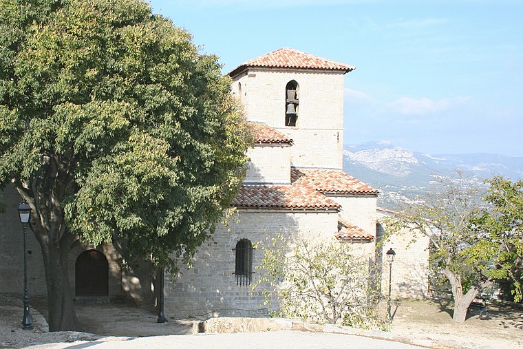
Photo: Rvalette, CC BY-SA 3.0.
Collégiale Saint-Pierre de Six-Fours is a church, which is situated 2 km north of Rond-Point Albert Rubini.
Villa Cécile
Building

Photo: Thérèse Gaigé, CC BY-SA 3.0.
Villa Cécile is a building, which is situated 1¼ km north of Rond-Point Albert Rubini.
Batterie de Peyras
Museum

Photo: Technob105, CC BY-SA 3.0.
Batterie de Peyras is a museum, which is situated 3½ km southeast of Rond-Point Albert Rubini.
Places in the Area
Nearby places include Six-Fours-les-Plages and La Seyne-sur-Mer.
Six-Fours-les-Plages
Town

Photo: Flobio83, CC BY-SA 3.0.
Six-Fours-les-Plages is a commune in the Var department in the Provence-Alpes-Côte d'Azur region in southeastern France. Inhabitants of Six-Fours-les-Plages refer to themselves as "Six-Fournais".
La Seyne-sur-Mer
Town

Photo: Mfe, CC BY-SA 3.0.
La Seyne-sur-Mer, or simply La Seyne, is a commune in the Var department in the Provence-Alpes-Côte d'Azur region in Southeastern France. La Seyne-sur-Mer, which is part of the agglomeration of Toulon, is situated adjacent to the west of the city. La Seyne-sur-Mer is situated 4 km northeast of Rond-Point Albert Rubini.
Sanary-sur-Mer

Photo: Marianne Casamance, CC BY-SA 3.0.
Sanary-sur-Mer, popularly known as Sanary, is a commune in the Var department in the Provence-Alpes-Côte d'Azur region, Southeastern France. Sanary-sur-Mer is located in coastal Provence on the Mediterranean Sea, 13 km west of Toulon and 49 km southeast of Marseille.
Rond-Point Albert Rubini
Latitude
43.08738° or 43° 5′ 15″ northLongitude
5.83604° or 5° 50′ 10″ eastOpen location code
8FM73RPP+XCOpenStreetMap ID
way 1103176886OpenStreetMap feature
landuse=village_green
This page is based on OpenStreetMap, Wikidata, and Wikimedia Commons.
We’d love your help improving our open data sources. Thank you for contributing.
Satellite Map
Discover Rond-Point Albert Rubini from above in high-definition satellite imagery.
Notable Places Nearby
Highlights include Cimetière Reynier 2 and Parc public du Bouillibaye.
Nearby Places
Explore places such as HLM Reynier Haut and L’Albatros.
Var: Must-Visit Destinations
Delve into Toulon, Saint-Tropez, Hyères, and Fréjus.
Curious Village Greens to Discover
Uncover intriguing village greens from every corner of the globe.
About Mapcarta. Data © OpenStreetMap contributors and available under the Open Database License". Text is available under the CC BY-SA 4.0 license, except for photos, directions, and the map. Photo: Tobi 87, CC BY-SA 3.0.