Arrieta Acres
Arrieta Acres is a residential area in Village of San Leanna, Travis, Texas. Arrieta Acres is situated nearby to the village San Leanna, as well as near the cemetery Chapel Hill Memorial Park.| Tap on a place to explore it |
Places of Interest Nearby
Highlights include Akins High School.
Akins High School
School

Photo: Iaksge, CC BY-SA 3.0.
Akins High School is located in South Austin, Texas, United States. The school is named after William Charles Akins, the first black teacher to work at a high school after desegregation in the Austin Independent School District. Akins High School is situated 1 mile northeast of Arrieta Acres.
Places in the Area
Nearby places include San Leanna and Manchaca.
San Leanna
Village

Photo: WhisperToMe, Public domain.
San Leanna is a village in Travis County, Texas, United States. The population was 522 at the 2020 census.
Manchaca
Village
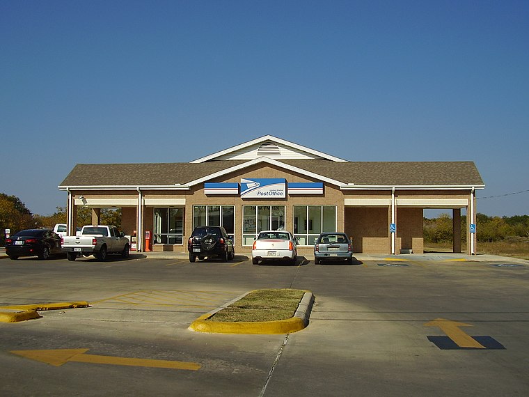
Photo: WhisperToMe, Public domain.
Manchaca is a census-designated place in Travis County, Texas, United States. It is located 10 miles southwest of downtown Austin. This was a new CDP for the 2020 census with a population of 2,266.
Bluff Springs
Hamlet
Bluff Springs is a small unincorporated community in southern Travis County, Texas, United States. According to the Handbook of Texas, the community had a population of 50 in 2000. It is located within the Greater Austin metropolitan area. Bluff Springs is situated 3 miles east of Arrieta Acres.
Arrieta Acres
- Type: Residential area
- Location: Village of San Leanna, Travis, Texas, United States, North America
- View on OpenStreetMap
Latitude
30.14251° or 30° 8′ 33″ northLongitude
-97.81708° or 97° 49′ 2″ westOpen location code
862445VM+25OpenStreetMap ID
way 1104991169OpenStreetMap feature
landuse=residential
This page is based on OpenStreetMap, Wikidata, and Wikimedia Commons.
We’d love your help improving our open data sources. Thank you for contributing.
Satellite Map
Discover Arrieta Acres from above in high-definition satellite imagery.
Notable Places Nearby
Highlights include Chapel Hill Memorial Park and Apostolic Life Center.
Nearby Places
Explore places such as Lee’s Addition and James E. Payne Subdivision.
Texas: Must-Visit Destinations
Delve into Houston, Austin, Dallas, and San Antonio.
Curious Residential Areas to Discover
Uncover intriguing residential areas from every corner of the globe.
About Mapcarta. Data © OpenStreetMap contributors and available under the Open Database License". Text is available under the CC BY-SA 4.0 license, except for photos, directions, and the map. Photo: Wikimedia, CC0.