SpecOps Gaming Lounge
SpecOps Gaming Lounge is an amusement arcade in Pulaski, Arkansas which is located on South Shackleford Road. SpecOps Gaming Lounge is situated nearby to the amusement arcade Chuck E. Cheese, as well as near the pond Aldersgate Lake.| Tap on a place to explore it |
Places of Interest Nearby
Highlights include Boyle Park.
Boyle Park
Park
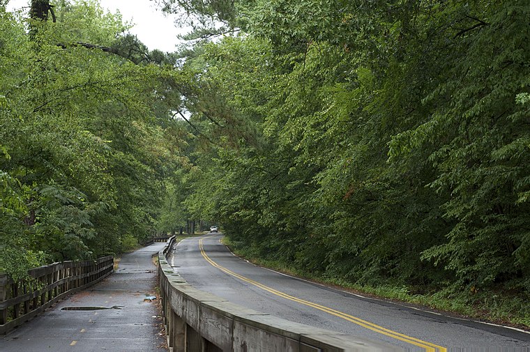
Photo: Eric in SF, CC BY-SA 3.0.
Boyle Park is an approximately 250 acre urban park located in west-central Little Rock. The land for Boyle Park was donated to the City of Little Rock in 1929 by Dr. Boyle Park is situated 2½ miles east of SpecOps Gaming Lounge.
Places in the Area
Nearby places include Big Rock Interchange and Cammack Village.
Big Rock Interchange
Locality
The Big Rock Interchange is the I-430/I-630/Chenal Parkway interchange in west Little Rock, Arkansas. The name is derived from a large rock formation discovered during expansion.
Cammack Village
Village
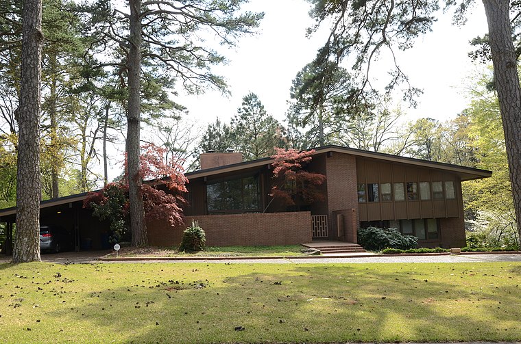
Photo: Valis55, CC BY-SA 3.0.
Cammack Village is a city in Pulaski County, Arkansas, United States. The population was 778 as of the 2020 census. It is part of the Little Rock–North Little Rock–Conway metropolitan area. Cammack Village is situated 4½ miles northeast of SpecOps Gaming Lounge.
Pulaski Heights
Hamlet
Pulaski Heights is a section of the city of Little Rock, Arkansas, located in the north-central portion of the city. Locally, the area is referred to as the Heights. Pulaski Heights is situated 5 miles east of SpecOps Gaming Lounge.
SpecOps Gaming Lounge
- Type: Amusement arcade
- Address: Suite I, 2614 South Shackleford Road, Little Rock, AR 72205
- Categories: building, recreation area, tourist attraction, and tourism
- Location: Pulaski, Arkansas, South, United States, North America
- View on OpenStreetMap
Latitude
34.7301° or 34° 43′ 48″ northLongitude
-92.39722° or 92° 23′ 50″ westOpen location code
8669PJJ3+24OpenStreetMap ID
way 1110295004OpenStreetMap feature
building=yesOpenStreetMap feature
leisure=amusement_arcade
This page is based on OpenStreetMap, Wikidata, and Wikimedia Commons.
We’d love your help improving our open data sources. Thank you for contributing.
Satellite Map
Discover SpecOps Gaming Lounge from above in high-definition satellite imagery.
Notable Places Nearby
Highlights include Chuck E. Cheese and Aldersgate Lake.
Nearby Places
Explore places such as Shackleford Crossings and T-Mobile.
Arkansas: Must-Visit Destinations
Delve into Little Rock, Fayetteville, Fort Smith, and Jonesboro.
Curious Amusement Arcades to Discover
Uncover intriguing amusement arcades from every corner of the globe.
About Mapcarta. Data © OpenStreetMap contributors and available under the Open Database License". Text is available under the CC BY-SA 4.0 license, except for photos, directions, and the map. Photo: Wikimedia, CC0.