Abdankungshalle
Abdankungshalle is a place of worship in Uster, Canton of Zurich. Abdankungshalle is situated nearby to the chapel Friedhofskapelle, as well as near the cemetery Friedhof Uster.| Tap on a place to explore it |
Places of Interest Nearby
Highlights include Uster Castle and Uster Reformed Church.
Uster Castle
Castle

Photo: Roland zh, CC BY-SA 3.0.
Uster Castle is a hill castle which was built probably around 1200 AD by the House of Rapperswil in the Swiss municipality of Uster in the Canton of Zürich. Since 1995 it houses a boarding school. Uster Castle is situated 240 metres northeast of Abdankungshalle.
Uster Reformed Church
Church
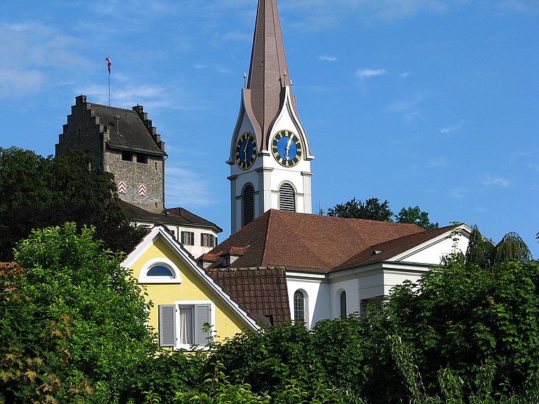
Photo: Roland zh, CC BY-SA 3.0.
Reformierte Kirche Uster is an Evangelical Reformed church in the Swiss municipality of Uster in the Canton of Zürich that was built in 1824. The predecessor St. Uster Reformed Church is situated 210 metres northeast of Abdankungshalle.
Uster railway station
Railway station
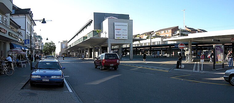
Photo: Wikimedia, Public domain.
Uster is a railway station in the canton of Zurich, Switzerland, situated in the city of Uster and within fare zone 131 of the Zürcher Verkehrsverbund. The station is located on the Wallisellen to Uster and Rapperswil railway line. Uster railway station is situated 750 metres north of Abdankungshalle.
Places in the Area
Nearby places include Riedikon and Maur.
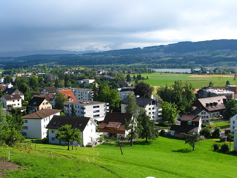
Maur
Village
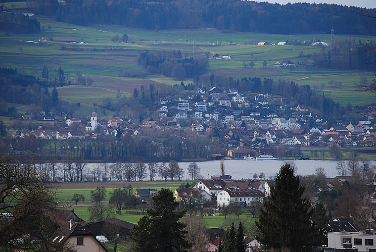
Photo: DidiWeidmann, CC BY-SA 3.0.
Maur is a municipality in the district of Uster in the canton of Zürich in Switzerland. Maur is situated 3½ km west of Abdankungshalle.
Mönchaltorf
Village

Photo: Berger, CC BY-SA 3.0.
Mönchaltorf is a municipality in the district of Uster in the canton of Zürich in Switzerland. Mönchaltorf is situated 3½ km south of Abdankungshalle.
Abdankungshalle
- Type: Place of worship
- Categories: building and religion
- Location: Uster, Uster District, Canton of Zurich, Zurich, Switzerland, Central Europe, Europe
- View on OpenStreetMap
Latitude
47.34439° or 47° 20′ 40″ northLongitude
8.71511° or 8° 42′ 54″ eastOpen location code
8FVC8PV8+Q2OpenStreetMap ID
way 112176107OpenStreetMap feature
amenity=place_of_worshipOpenStreetMap feature
building=yes
This page is based on OpenStreetMap, Wikidata, and Wikimedia Commons.
We’d love your help improving our open data sources. Thank you for contributing.
Satellite Map
Discover Abdankungshalle from above in high-definition satellite imagery.
Places with the Same Name
Discover other places named “Abdankungshalle”.
Notable Places Nearby
Highlights include Friedhofskapelle and Friedhof Uster.
Nearby Places
Explore places such as Geschenkreich Werkheim Uster and La perla Coiffeur.
Zurich: Must-Visit Destinations
Delve into Zurich, Winterthur, Aarau, and Zug.
Curious Place Of Worships to Discover
Uncover intriguing place of worships from every corner of the globe.
About Mapcarta. Data © OpenStreetMap contributors and available under the Open Database License". Text is available under the CC BY-SA 4.0 license, except for photos, directions, and the map. Photo: Roland zh, CC BY-SA 3.0.