Verkehrs- und Kommunikationstechnik
Verkehrs- und Kommunikationstechnik is in Solingen, Düsseldorf, North Rhine-Westphalia, and is located on Gottlieb-Heinrich-Straße. Verkehrs- und Kommunikationstechnik is situated nearby to the church St. Katharina, as well as near the sports venue Letho Bad.| Tap on a place to explore it |
Places of Interest Nearby
Highlights include St. Katharina and Hendrich’s Drop Forge.
St. Katharina
Church

Photo: Mabit1, CC BY-SA 4.0.
St. Katharina is a church, which is situated 170 metres east of Verkehrs- und Kommunikationstechnik.
Hendrich’s Drop Forge
Museum

Photo: Wikimedia, CC BY-SA 3.0.
The Hendrich's Drop Forge part of the LVR Industriemuseum is a museum in Solingen, a city in North Rhine-Westphalia, Germany. It is located on the northern edge of the region called Bergisches Land, south of the Ruhr. Hendrich’s Drop Forge is situated 1 km southeast of Verkehrs- und Kommunikationstechnik.
Walder Stadtpark
Park
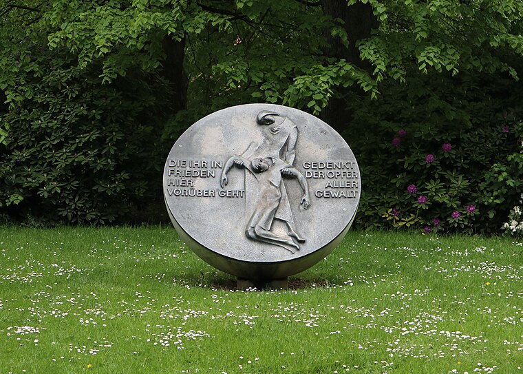
Photo: SolingenFan95, CC BY-SA 4.0.
Walder Stadtpark is situated 1 km northeast of Verkehrs- und Kommunikationstechnik.
Places in the Area
Nearby places include Wald and Solingen-Dahl.


Verkehrs- und Kommunikationstechnik
- Type: Industry
- Address: Gottlieb-Heinrich-Straße 10, Solingen, 42719
- Location: Solingen, Düsseldorf, Bergisches Land, North Rhine-Westphalia, Germany, Central Europe, Europe
- View on OpenStreetMap
Latitude
51.17991° or 51° 10′ 48″ northLongitude
7.03226° or 7° 1′ 56″ eastOperator
Technische Betriebe SolingenOpen location code
9F3952HJ+XWOpenStreetMap ID
way 1124911344OpenStreetMap feature
landuse=industrial
This page is based on OpenStreetMap, Wikidata, and Wikimedia Commons.
We’d love your help improving our open data sources. Thank you for contributing.
Satellite Map
Discover Verkehrs- und Kommunikationstechnik from above in high-definition satellite imagery.
Notable Places Nearby
Highlights include Letho Bad and Eichner und Stahlhaus.
Nearby Places
Explore places such as Gottlieb-Heinrich Grundschule and Aldi.
Bergisches Land: Must-Visit Destinations
Delve into Wuppertal, Bergisch Gladbach, Remscheid, and Gummersbach.
Curious Places to Discover
Uncover intriguing places from every corner of the globe.
About Mapcarta. Data © OpenStreetMap contributors and available under the Open Database License". Text is available under the CC BY-SA 4.0 license, except for photos, directions, and the map. Photo: DiAuras, CC BY-SA 4.0.