Sporthalle Rethen
Sporthalle Rethen is a sports venue in Lower Saxony, Germany which is located on Braunschweiger Straße. Sporthalle Rethen is situated nearby to the fire station Freiwillige Feuerwehr Rethen (Leine), as well as near the arts center Familienzentrum Rethen.| Tap on a place to explore it |
Places of Interest Nearby
Highlights include St.-Petri-Kirche and Rethen (Leine).
St.-Petri-Kirche
Church

Photo: Rabanus Flavus, CC BY-SA 3.0.
St.-Petri-Kirche is a church, which is situated 330 metres northwest of Sporthalle Rethen.
Rethen (Leine)
Railway station
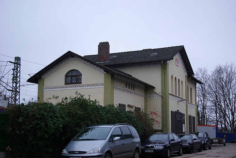
Photo: Clemensfranz, CC BY-SA 3.0.
Rethen (Leine) is a railway station, which is situated 590 metres west of Sporthalle Rethen.
Gleidingen/Orpheusweg
Tram stop

Photo: Clic, CC BY-SA 4.0.
Gleidingen/Orpheusweg is a tram stop, which is situated 1 km southeast of Sporthalle Rethen.
Places in the Area
Nearby places include Rethen and Gleidingen.
Rethen
Suburb
Rethen is a part of the town of Laatzen in the district of Hanover, in Lower Saxony, Germany. It is situated south of both Hanover and the center of Laatzen.
Gleidingen
Suburb

Photo: Smiley.toerist, CC BY-SA 4.0.
Gleidingen is a part of the town of Laatzen in the district of Hanover, in Lower Saxony, Germany. It is situated south of both Hanover and the center of Laatzen.
Koldingen
Village

Photo: Clemensfranz, CC BY 2.5.
Koldingen is a village, which is situated 2½ km southwest of Sporthalle Rethen.
Sporthalle Rethen
- Type: Sports venue
- Address: Braunschweiger Straße 2E, Laatzen, 30880
- Categories: building, recreation area, and sports location
- Location: Lower Saxony, Germany, Central Europe, Europe
- View on OpenStreetMap
Latitude
52.28455° or 52° 17′ 4″ northLongitude
9.82764° or 9° 49′ 40″ eastOpen location code
9F4F7RMH+R3OpenStreetMap ID
way 112803435OpenStreetMap feature
building=yesOpenStreetMap feature
leisure=sports_centreOpenStreetMap feature
sport=multi
This page is based on OpenStreetMap, Wikidata, and Wikimedia Commons.
We’d love your help improving our open data sources. Thank you for contributing.
Satellite Map
Discover Sporthalle Rethen from above in high-definition satellite imagery.
Notable Places Nearby
Highlights include Freiwillige Feuerwehr Rethen (Leine) and Familienzentrum Rethen.
Nearby Places
Explore places such as Familienzentrum Rethen and Autoservice Rethen.
Lower Saxony: Must-Visit Destinations
Delve into Hanover, Göttingen, Brunswick, and Wolfsburg.
Curious Sports Venues to Discover
Uncover intriguing sports venues from every corner of the globe.
About Mapcarta. Data © OpenStreetMap contributors and available under the Open Database License". Text is available under the CC BY-SA 4.0 license, except for photos, directions, and the map. Photo: Danapit, CC BY-SA 3.0.