Reservoir Wacht
Reservoir Wacht is a reservoir in Adliswil, Horgen District, Canton of Zurich. Reservoir Wacht is situated nearby to the neighborhood Tobelhof, as well as near Leberen.| Tap on a place to explore it |
Places of Interest
Highlights include Adliswil railway station and Felsenegg.
Adliswil railway station
Railway station

Photo: BRW, CC BY-SA 4.0.
Adliswil is a railway station in the Sihl Valley, and the municipality of Adliswil, in the Swiss Canton of Zürich. The station is on the Sihltal line, which is operated by the Sihltal Zürich Uetliberg Bahn.
Felsenegg
Peak

Photo: Parpan05, CC BY-SA 3.0.
Felsenegg is a vantage point in the canton of Zürich in Switzerland.
Sood-Oberleimbach railway station
Railway station
 Sood-Oberleimbach is a railway station in the Sihl Valley, and the municipality of Adliswil, in the Swiss Canton of Zurich, within fare zone 150 of the Zürcher Verkehrsverbund.
Places in the Area
Nearby places include Thalwil and Küsnacht.
Thalwil
Town

Photo: Iotatau, CC BY-SA 3.0.
Thalwil is a municipality and town in the district of Horgen in the canton of Zürich in Switzerland. The municipality includes two parts: Thalwil and Gattikon.
Küsnacht
Town

Photo: Wikimedia, CC BY-SA 2.0.
Küsnacht is a municipality in the district of Meilen in the canton of Zürich, Switzerland.
Wollishofen
Suburb
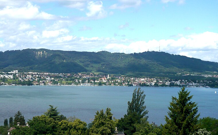
Photo: Parpan05, CC BY-SA 3.0.
Wollishofen is a neighbourhood in Zürich's 2nd district, situated in the eastern foothills of Uetliberg. It was formerly a municipality of its own, having been incorporated into Zürich in 1893.
Reservoir Wacht
- Type: Reservoir
- Category: body of water
- Location: Adliswil, Horgen District, Canton of Zurich, Switzerland, Central Europe, Europe
- View on OpenStreetMap
Latitude
47.3084° or 47° 18′ 30″ northLongitude
8.5348° or 8° 32′ 5″ eastOpen location code
8FVC8G5M+9WOpenStreetMap ID
way 1132142555OpenStreetMap feature
man_made=reservoir_covered
This page is based on OpenStreetMap, Wikidata, and Wikimedia Commons.
We’d love your help improving our open data sources. Thank you for contributing.
Satellite Map
Discover Reservoir Wacht from above in high-definition satellite imagery.
Localities in the Area
Explore places such as Tobelhof and Leberen.
Notable Places Nearby
Highlights include Reservoir Wacht and Hartplatz.
Switzerland: Must-Visit Destinations
Delve into Zurich, Berne, Geneva, and Basel.
Curious Reservoirs to Discover
Uncover intriguing reservoirs from every corner of the globe.
About Mapcarta. Data © OpenStreetMap contributors and available under the Open Database License". Text is available under the CC BY-SA 4.0 license, except for photos, directions, and the map. Photo: Wikimedia, CC0.