Dorrisville Baprist Church
Dorrisville Baprist Church is in Harrisburg Township, Saline, Illinois. Dorrisville Baprist Church is situated nearby to the government office Saline County Housing Authority, as well as near Old Pauper Cemetery.| Tap on a place to explore it |
Places in the Area
Nearby places include Harrisburg and Carrier Mills.
Harrisburg
Town
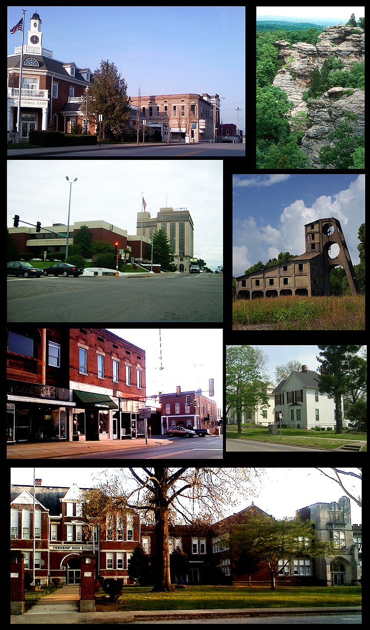
Photo: Ruhe1986, Public domain.
Harrisburg is a city in and the county seat of Saline County, Illinois, United States. It is located about 55 miles southwest of Evansville, Indiana, and 111 mi southeast of St.
Carrier Mills
Village

Photo: Ruhe1986, Public domain.
Carrier Mills, formerly Carrier's Mills and Morrilsville, also known as Catskin, is a village in Saline County, Illinois, United States. The population was 1,672 at the 2020 census. Carrier Mills is situated 5 miles southwest of Dorrisville Baprist Church.
Dorrisville Baprist Church
- Type: Religious organization
- Denomination: Baptist
- Category: religion
- Location: Harrisburg Township, Saline, Illinois, Midwest, United States, North America
- View on OpenStreetMap
Latitude
37.72271° or 37° 43′ 22″ northLongitude
-88.55272° or 88° 33′ 10″ westOpen location code
869HPCFW+3WOpenStreetMap ID
way 1134707725OpenStreetMap feature
landuse=religiousOpenStreetMap attribute
denomination=baptist
This page is based on OpenStreetMap, Wikidata, and Wikimedia Commons.
We’d love your help improving our open data sources. Thank you for contributing.
Satellite Map
Discover Dorrisville Baprist Church from above in high-definition satellite imagery.
Notable Places Nearby
Highlights include Dorrisville Baprist Church and Saline County Housing Authority.
Nearby Places
Explore places such as Dorrisville School and Araon C. Pickering Apartments.
Illinois: Must-Visit Destinations
Delve into Chicago, Springfield, Rockford, and Loop.
Curious Places to Discover
Uncover intriguing places from every corner of the globe.
About Mapcarta. Data © OpenStreetMap contributors and available under the Open Database License". Text is available under the CC BY-SA 4.0 license, except for photos, directions, and the map. Photo: Rastapopulous, CC BY-SA 3.0.