Saint-Jean-de-Lirou
Saint-Jean-de-Lirou is a residential area in Cruscades, Arrondissement of Narbonne, Occitanie. Saint-Jean-de-Lirou is situated nearby to the village Canet, as well as near Ventenac-en-Minervois.| Tap on a place to explore it |
Places of Interest Nearby
Highlights include Town hall of Villedaigne and Église Saint-Hippolyte de Villedaigne.
Town hall of Villedaigne
Town hall

Photo: Culex, CC BY-SA 4.0.
Town hall of Villedaigne is situated 3 km east of Saint-Jean-de-Lirou.
Église Saint-Hippolyte de Villedaigne
Church

Photo: Culex, CC BY-SA 4.0.
Église Saint-Hippolyte de Villedaigne is a church, which is situated 3 km east of Saint-Jean-de-Lirou.
Chapelle Notre-Dame de Canos
Church
 Chapelle Notre-Dame de Canos is a church, which is situated 4 km southwest of Saint-Jean-de-Lirou.
Places in the Area
Nearby places include Canet and Ventenac-en-Minervois.
Canet
Village
Canet is a commune in the Aude department in southern France. Canet is situated 3 km northeast of Saint-Jean-de-Lirou.
Ventenac-en-Minervois
Village
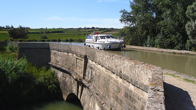
Photo: ArnoLagrange, CC BY-SA 3.0.
Ventenac-en-Minervois is a commune in the Aude department in southern France. Ventenac-en-Minervois is situated 5 km northeast of Saint-Jean-de-Lirou.
Lézignan-Corbières
Town

Photo: ArnoLagrange, CC BY-SA 3.0.
Lézignan-Corbières is a commune in the Aude department in the Occitanie region in southern France. Situated in the Corbières wine region not far from Narbonne, it has a Vine and Wine Museum. Lézignan-Corbières is situated 6 km west of Saint-Jean-de-Lirou.
Saint-Jean-de-Lirou
- Type: Residential area
- Location: Cruscades, Arrondissement of Narbonne, Aude, Occitanie, France, Europe
- View on OpenStreetMap
Latitude
43.20789° or 43° 12′ 28″ northLongitude
2.82761° or 2° 49′ 39″ eastOpen location code
8FM46R5H+52OpenStreetMap ID
way 1136499463OpenStreetMap feature
landuse=residential
This page is based on OpenStreetMap, Wikidata, and Wikimedia Commons.
We’d love your help improving our open data sources. Thank you for contributing.
Satellite Map
Discover Saint-Jean-de-Lirou from above in high-definition satellite imagery.
Notable Places Nearby
Highlights include Cruscades and Mairie de Cruscades.
Nearby Places
Explore places such as Saint-Jean-de-Lirou and Aire d’Accueil des Gens du Voyage de Lézignan.
Aude: Must-Visit Destinations
Delve into Carcassonne, Narbonne, Limoux, and Leucate.
Curious Residential Areas to Discover
Uncover intriguing residential areas from every corner of the globe.
About Mapcarta. Data © OpenStreetMap contributors and available under the Open Database License". Text is available under the CC BY-SA 4.0 license, except for photos, directions, and the map. Photo: MartinD, CC BY-SA 3.0.