Ferris Hall
Ferris Hall is a barracks in Comanche, Oklahoma which is located on Rothwell Street. Ferris Hall is situated nearby to the military installation Team Development Course (TDC), as well as near the park Parade Field.| Tap on a place to explore it |
Places of Interest Nearby
Highlights include Comanche Indian Mission Cemetery.
Comanche Indian Mission Cemetery
Cemetery

Photo: Crimsonedge34, CC BY-SA 3.0.
Comanche Indian Mission Cemetery is situated 1 mile southwest of Ferris Hall.
Places in the Area
Nearby places include Lawton.
Lawton
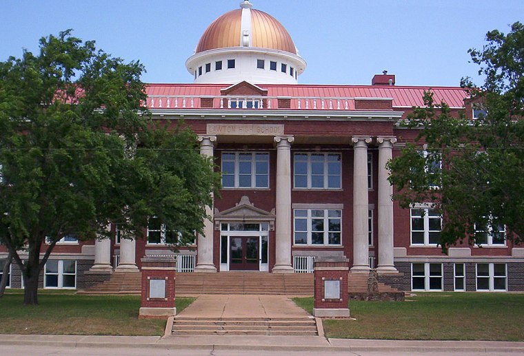
Photo: Crimsonedge34, CC BY-SA 3.0.
Lawton is a city in and the county seat of Comanche County, in the U.S. state of Oklahoma. Located in western Oklahoma, approximately 87 mi southwest of Oklahoma City, it is the principal city of the Lawton, Oklahoma, metropolitan statistical area.
Ferris Hall
- Type: Barracks
- Address: 5960 Rothwell Street, Fort Sill, OK 73503
- Categories: building, military installation, and residential building
- Location: Comanche, Oklahoma, Great Plains, United States, North America
- View on OpenStreetMap
Latitude
34.65407° or 34° 39′ 15″ northLongitude
-98.3804° or 98° 22′ 49″ westOpen location code
8663MJ39+JROpenStreetMap ID
way 1137374500OpenStreetMap feature
building=yesOpenStreetMap feature
military=barracks
This page is based on OpenStreetMap, Wikidata, and Wikimedia Commons.
We’d love your help improving our open data sources. Thank you for contributing.
Satellite Map
Discover Ferris Hall from above in high-definition satellite imagery.
Places with the Same Name
Discover other places named “Ferris Hall”.
Notable Places Nearby
Highlights include Team Development Course (TDC) and Parade Field.
Nearby Places
Explore places such as Foxtrot Battery 1-31 FA BN (BCT) and (BCT) DFAC.
Oklahoma: Must-Visit Destinations
Delve into Oklahoma City, Tulsa, Norman, and Lawton.
Curious Barracks to Discover
Uncover intriguing barracks from every corner of the globe.
About Mapcarta. Data © OpenStreetMap contributors and available under the Open Database License". Text is available under the CC BY-SA 4.0 license, except for photos, directions, and the map. Photo: Wikimedia, CC0.