Étang de pêche de Dechy
Étang de pêche de Dechy is a pond in Sin-le-Noble, Arrondissement of Douai, Hauts-de-France. Étang de pêche de Dechy is situated nearby to the village Flers-en-Escrebieux.| Tap on a place to explore it |
Places of Interest Nearby
Highlights include Mairie de Guesnain and Gare de Sin-le-Noble.
Mairie de Guesnain
Town hall

Photo: Jérémy-Günther-Heinz Jähnick, CC BY-SA 3.0.
Mairie de Guesnain is a town hall, which is situated 2 km south of Étang de pêche de Dechy.
Gare de Sin-le-Noble
Railway station
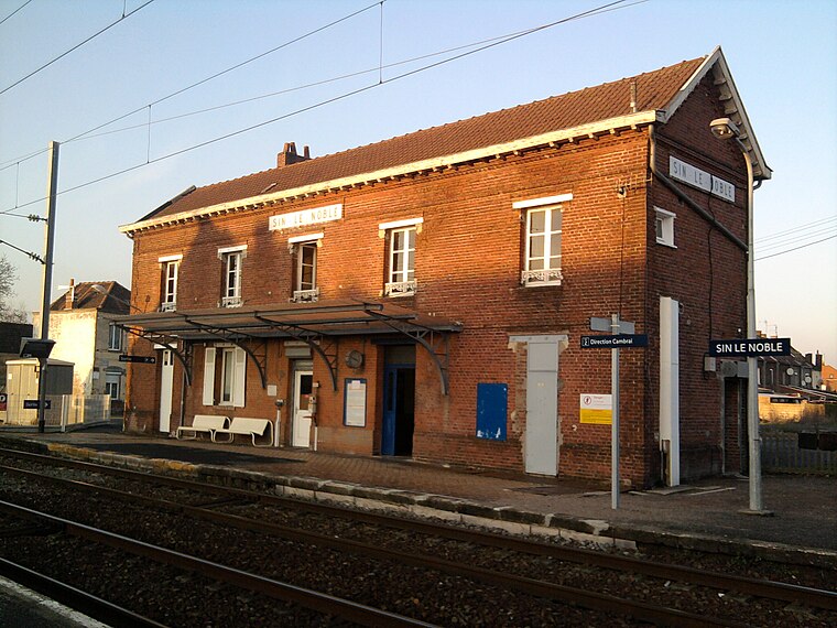
Photo: Jojo68, CC BY-SA 3.0.
Gare de Sin-le-Noble is a railway station, which is situated 2½ km southwest of Étang de pêche de Dechy.
Douai station
Railway station

Photo: Jérémy-Günther-Heinz Jähnick, CC BY-SA 3.0.
Douai is a railway station serving the town of Douai, Nord, France. The station opened in 1846 and is located on the Paris–Lille railway and Douai–Valenciennes railway. The train services are operated by SNCF. Douai station is situated 3½ km west of Étang de pêche de Dechy.
Places in the Area
Nearby places include Douai and Flers-en-Escrebieux.
Douai

Photo: JÄNNICK Jérémy, CC0.
Douai is a small city of 40,000 inhabitants in the Hauts-de-France region of France, known for its belfry. The city is located between Lens and Valenciennes.
Flers-en-Escrebieux
Village

Photo: Dosto, CC BY-SA 3.0.
Flers-en-Escrebieux is a commune in the Nord department in northern France. Flers-en-Escrebieux is situated 6 km northwest of Étang de pêche de Dechy.
Rieulay
Village

Photo: Jérémy-Günther-Heinz Jähnick, GFDL.
Rieulay is a commune in the Nord department in northern France. Rieulay is situated 8 km east of Étang de pêche de Dechy.
Étang de pêche de Dechy
- Type: Pond
- Category: body of water
- Location: Sin-le-Noble, Arrondissement of Douai, North, Hauts-de-France, France, Europe
- View on OpenStreetMap
Latitude
50.37124° or 50° 22′ 17″ northLongitude
3.14095° or 3° 8′ 27″ eastOpen location code
9F2594CR+F9OpenStreetMap ID
way 1138436895OpenStreetMap feature
natural=waterOpenStreetMap feature
water=pond
This page is based on OpenStreetMap, Wikidata, and Wikimedia Commons.
We’d love your help improving our open data sources. Thank you for contributing.
Satellite Map
Discover Étang de pêche de Dechy from above in high-definition satellite imagery.
Notable Places Nearby
Highlights include Centre équestre Les 2V and Marais de la Motte.
Nearby Places
Explore places such as Rue Neuve and Poste électrique de Dechy.
Hauts-de-France: Must-Visit Destinations
Delve into Lille, Dunkirk, Calais, and Amiens.
Curious Ponds to Discover
Uncover intriguing ponds from every corner of the globe.
About Mapcarta. Data © OpenStreetMap contributors and available under the Open Database License". Text is available under the CC BY-SA 4.0 license, except for photos, directions, and the map. Photo: LimoWreck, CC BY-SA 3.0.