Service Enfance et Jeunesse ‘La Pomme’
Service Enfance et Jeunesse ‘La Pomme’ is a community center in Bompas, Arrondissement of Perpignan, Occitanie. Service Enfance et Jeunesse ‘La Pomme’ is situated nearby to the square Les Terrasses du Bonheur, as well as near the post office Bureau de Poste de Bompas.| Tap on a place to explore it |
- Opening hours: Monday—Friday 8:30 AM—noon and 2:00 PM—6:00 PM
- Email: pijbompas@orange.fr
- Type: Community center
- Also known as: “SEJ La Pomme”
Places of Interest Nearby
Highlights include Église Saint-Étienne de Bompas and Église Saint-Cirq et Sainte-Julitte de Pia.
Église Saint-Étienne de Bompas
Church

Photo: Culex, CC BY-SA 4.0.
Église Saint-Étienne de Bompas is a church, which is situated 480 metres east of Service Enfance et Jeunesse ‘La Pomme’.
Église Saint-Cirq et Sainte-Julitte de Pia
Church

Photo: Wayne77, CC BY-SA 4.0.
Église Saint-Cirq et Sainte-Julitte de Pia is a church, which is situated 1½ km northwest of Service Enfance et Jeunesse ‘La Pomme’.
Stade Daniel-Ambert
Pitch

Photo: Grizzlys Catalans, CC BY-SA 4.0.
Stade Daniel-Ambert is a pitch, which is situated 2 km north of Service Enfance et Jeunesse ‘La Pomme’.
Places in the Area
Nearby places include Pia and Castell Rosselló.
Pia
Town

Photo: Wikimedia, Public domain.
Pia is a commune in the Pyrénées-Orientales department in southern France.
Castell Rosselló
Hamlet
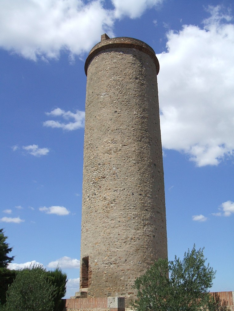
Photo: LeZibou, CC BY-SA 3.0.
Castell Rosselló is a hamlet, which is situated 3 km southeast of Service Enfance et Jeunesse ‘La Pomme’.
Claira
Village

Photo: LeZibou, CC BY-SA 3.0.
Claira is a commune in the Pyrénées-Orientales department in southern France. Claira is situated 4 km northeast of Service Enfance et Jeunesse ‘La Pomme’.
Service Enfance et Jeunesse ‘La Pomme’
- Categories: building and public building
- Location: Bompas, Arrondissement of Perpignan, Pyrénées-Orientales, Occitanie, France, Europe
- View on OpenStreetMap
Latitude
42.73196° or 42° 43′ 55″ northLongitude
2.92838° or 2° 55′ 42″ eastOpen location code
8FJ4PWJH+Q9OpenStreetMap ID
way 1138454538OpenStreetMap feature
amenity=community_centreOpenStreetMap feature
building=public
This page is based on OpenStreetMap, Wikidata, and Wikimedia Commons.
We’d love your help improving our open data sources. Thank you for contributing.
Satellite Map
Discover Service Enfance et Jeunesse ‘La Pomme’ from above in high-definition satellite imagery.
Notable Places Nearby
Highlights include Les Terrasses du Bonheur and Bureau de Poste de Bompas.
Nearby Places
Explore places such as Pôle Santé Centre Bompassenc and Ateliers municipaux.
Pyrénées-Orientales: Must-Visit Destinations
Delve into Perpignan, Céret, Collioure, and Arles-sur-Tech.
Curious Community Centers to Discover
Uncover intriguing community centers from every corner of the globe.
About Mapcarta. Data © OpenStreetMap contributors and available under the Open Database License". Text is available under the CC BY-SA 4.0 license, except for photos, directions, and the map. Photo: Inkey, CC BY-SA 3.0.