Elipsa Park & Galeria
Elipsa Park & Galeria is a shopping center in Gmina Myślenice, Myślenice County, Małopolskie which is located on Juliusza Słowackiego. Elipsa Park & Galeria is situated nearby to the bowling alley Spontiusz, as well as near the government office Powiatowa Stacja Sanitarno-Epidemiologiczna.| Tap on a place to explore it |
Places of Interest Nearby
Highlights include Church of St. Mary in Myślenice and Castle in Myślenice.
Church of St. Mary in Myślenice
Church

Photo: Wikimedia, CC BY-SA 3.0.
Church of St. Mary in Myślenice is situated 2 km west of Elipsa Park & Galeria.
Castle in Myślenice
Ruins
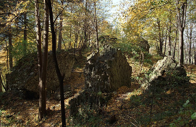
Photo: Wikimedia, CC BY-SA 3.0.
Castle in Myślenice is a ruins, which is situated 2½ km southwest of Elipsa Park & Galeria.
Uklejna
Peak
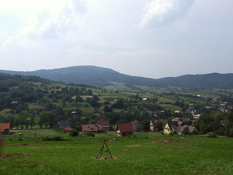
Photo: Wikimedia, CC BY-SA 4.0.
Uklejna is a peak, which is situated 3½ km south of Elipsa Park & Galeria.
Places in the Area
Nearby places include Osieczany and Myślenice.
Osieczany
Village
Osieczany is a village in the administrative district of Gmina Myślenice, within Myślenice County, Lesser Poland Voivodeship, in southern Poland.
Myślenice
Town
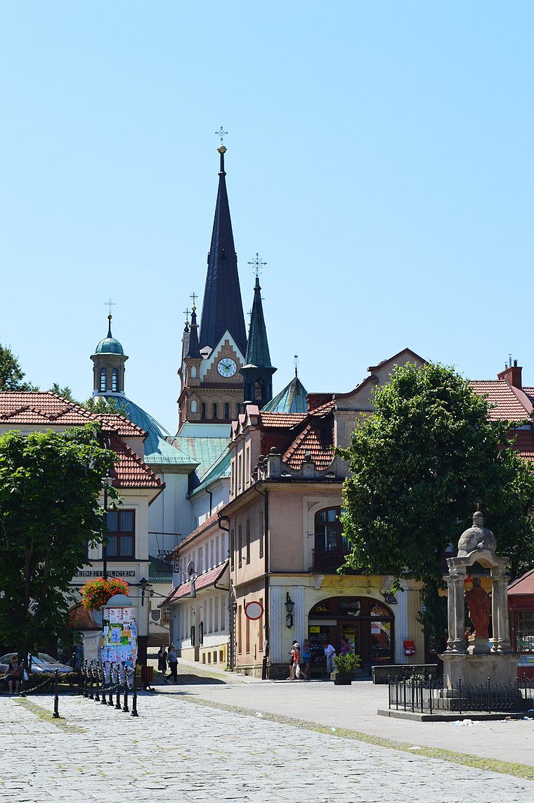
Photo: Scotch Mist, CC BY-SA 4.0.
Myślenice is a town in southern Poland situated in the Lesser Poland Voivodeship, 30 km south of Kraków. The town is divided into six districts. The most popular of them, Zarabie, is a famous tourist destination.
Borzęta
Village

Photo: Selso, CC BY-SA 4.0.
Borzęta is a village in the administrative district of Gmina Myślenice, within Myślenice County, Lesser Poland Voivodeship, in southern Poland. Borzęta is situated 3 km northeast of Elipsa Park & Galeria.
Elipsa Park & Galeria
- Type: Shopping center
- Address: Juliusza Słowackiego 112C, Myślenice, 32-400
- Categories: building and shop
- Location: Gmina Myślenice, Myślenice County, Małopolskie, Poland, Central Europe, Europe
- View on OpenStreetMap
Latitude
49.83906° or 49° 50′ 21″ northLongitude
19.96378° or 19° 57′ 50″ eastOpen location code
8FXXRXQ7+JGOpenStreetMap ID
way 1144447710OpenStreetMap feature
building=yesOpenStreetMap feature
shop=mall
This page is based on OpenStreetMap, Wikidata, and Wikimedia Commons.
We’d love your help improving our open data sources. Thank you for contributing.
Satellite Map
Discover Elipsa Park & Galeria from above in high-definition satellite imagery.
Notable Places Nearby
Highlights include Spontiusz and Powiatowa Stacja Sanitarno-Epidemiologiczna.
Nearby Places
Explore places such as dm and Pepco.
Małopolskie: Must-Visit Destinations
Delve into Kraków, Auschwitz-Birkenau, Oświęcim, and Zakopane.
Curious Shopping Centers to Discover
Uncover intriguing shopping centers from every corner of the globe.
About Mapcarta. Data © OpenStreetMap contributors and available under the Open Database License". Text is available under the CC BY-SA 4.0 license, except for photos, directions, and the map. Photo: Sicherlich, CC BY 3.0.