Steinigsgraben
Steinigsgraben is a locality in Langenorla, Saale-Orla-Kreis, Thuringia. Steinigsgraben is situated nearby to the locality Ulrichstal, as well as near Auf dem Artberge.| Tap on a place to explore it |
Places of Interest
Highlights include Neues Jagdschloss Hummelshain and St. John the Baptist Church.
Neues Jagdschloss Hummelshain
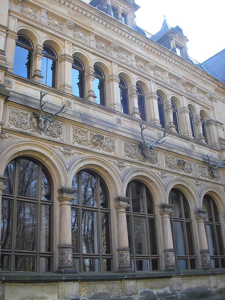
Photo: Michael Sander, CC BY-SA 3.0.
Neues Jagdschloss Hummelshain is situated 2½ km north of Steinigsgraben.

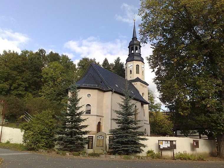
Dorfkirche Kleindembach
Church

Photo: Wikswat, CC BY-SA 3.0.
Dorfkirche Kleindembach is a church, which is situated 3½ km southwest of Steinigsgraben.
Places in the Area
Nearby places include Langendembach and Kleindembach.
Kleindembach
Village
 Kleindembach is a village, which is situated 3½ km southwest of Steinigsgraben.
Schweinitz
Village

Photo: NoRud, CC BY-SA 4.0.
Schweinitz is a village, which is situated 3½ km southwest of Steinigsgraben.
Steinigsgraben
- Type: Locality
- Location: Langenorla, Saale-Orla-Kreis, Thuringia, Germany, Central Europe, Europe
- View on OpenStreetMap
Latitude
50.74891° or 50° 44′ 56″ northLongitude
11.63803° or 11° 38′ 17″ eastOpen location code
9F2HPJXQ+H6OpenStreetMap ID
way 114468923OpenStreetMap feature
place=locality
This page is based on OpenStreetMap, Wikidata, and Wikimedia Commons.
We’d love your help improving our open data sources. Thank you for contributing.
Satellite Map
Discover Steinigsgraben from above in high-definition satellite imagery.
Localities in the Area
Explore places such as Ulrichstal and Auf dem Artberge.
Notable Places Nearby
Highlights include Prositquelle and Friedhof Langendembach.
Curious Localities to Discover
Uncover intriguing localities from every corner of the globe.
About Mapcarta. Data © OpenStreetMap contributors and available under the Open Database License". Text is available under the CC BY-SA 4.0 license, except for photos, directions, and the map. Photo: Taxiarchos228, FAL.