Schülergarten Oberstrass/Scherr
Schülergarten Oberstrass/Scherr is a garden in Zurich, Canton of Zurich. Schülergarten Oberstrass/Scherr is situated nearby to the sports venue Sport-/Turnhalle Scherr, as well as near the church Reformierte Kirche Oberstrass.| Tap on a place to explore it |
Places of Interest Nearby
Highlights include Reformierte Kirche Oberstrass and Zurich Main Station.
Reformierte Kirche Oberstrass
Church

Photo: Tis Meyer, CC BY-SA 3.0.
Reformierte Kirche Oberstrass is a church.
Zurich Main Station
Railway station

Photo: Ikiwaner, CC BY-SA 3.0.
Zürich Hauptbahnhof, often shortened to Zürich HB or just HB, and known in English as Zurich Main Station, is the largest railway station in Switzerland and one of the busiest in Europe. Zurich Main Station is situated 1 km southwest of Schülergarten Oberstrass/Scherr.
Russian Orthodox Church of the Resurrection
Church

Photo: Wikimedia, Copyrighted free use.
Russian Orthodox Church of the Resurrection is situated 190 metres south of Schülergarten Oberstrass/Scherr.
Places in the Area
Nearby places include Oberstrass and Unterstrass.
Oberstrass
Suburb
Oberstrass is a quarter in the district 6 in Zurich. It was formerly a municipality of its own, having been incorporated into Zurich in 1893. The quarter has a population of 9,494 distributed on an area of 2.64 km2.
Unterstrass
Suburb
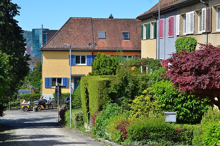
Photo: Roland zh, CC BY-SA 3.0.
Unterstrass is a quarter in the district 6 in Zurich. It was formerly a municipality of its own, having been incorporated into Zurich in 1893. The quarter has a population of 19,921, in an area of 2.46 km2.
Schülergarten Oberstrass/Scherr
- Type: Garden
- Category: recreation area
- Location: Zurich, Zürich District, Canton of Zurich, Zurich, Switzerland, Central Europe, Europe
- View on OpenStreetMap
Latitude
47.38414° or 47° 23′ 3″ northLongitude
8.54617° or 8° 32′ 46″ eastOpen location code
8FVC9GMW+MFOpenStreetMap ID
way 1148798949OpenStreetMap feature
leisure=garden
This page is based on OpenStreetMap, Wikidata, and Wikimedia Commons.
We’d love your help improving our open data sources. Thank you for contributing.
Satellite Map
Discover Schülergarten Oberstrass/Scherr from above in high-definition satellite imagery.
Notable Places Nearby
Highlights include Sport-/Turnhalle Scherr and Milizfeuerwehr Kompanie Ost.
Nearby Places
Explore places such as Schulhaus Scherr and Kinderhort Scherr 1,2,3 - Morgen-Mittag-Abend.
Zurich: Must-Visit Destinations
Delve into Winterthur, Aarau, Zug, and Zurich Airport.
Curious Gardens to Discover
Uncover intriguing gardens from every corner of the globe.
About Mapcarta. Data © OpenStreetMap contributors and available under the Open Database License". Text is available under the CC BY-SA 4.0 license, except for photos, directions, and the map. Photo: ויקיג’אנקי, CC BY-SA 4.0.