Playground Tegelweg
Playground Tegelweg is a playground in Hanover, Hanover Region, Lower Saxony. Playground Tegelweg is situated nearby to Akaflieg Hannover Werkstatt, as well as near the sports venue Modellfluggelände des Hannoverschen Aero-Club e.V..| Tap on a place to explore it |
- Type: Playground
- Description: Playground in Hannover-Sahlkamp, Germany
- Also known as: “Tegelweg”
- Wheelchair access: yes
Places of Interest Nearby
Highlights include Playground Staakenweg and Playground Leipziger Straße.
Playground Staakenweg
Playground

Photo: Nortix08, CC BY-SA 4.0.
Playground Staakenweg is situated 570 metres west of Playground Tegelweg.
Playground Leipziger Straße
Playground

Photo: Nortix08, CC BY-SA 4.0.
Playground Leipziger Straße is situated 640 metres southwest of Playground Tegelweg.
Silbersee
Lake
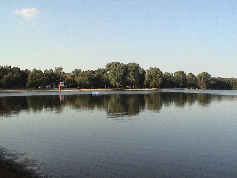
Photo: Georgios Ivankof, Public domain.
Silbersee is a lake in Langenhagen, Lower Saxony, Germany.
Places in the Area
Nearby places include Wiesenau and Langenhagen.
Wiesenau
Suburb

Photo: Nortix08, CC BY-SA 4.0.
Wiesenau is a suburb, which is situated 2½ km west of Playground Tegelweg.
Langenhagen
Town

Photo: Fischchen, CC BY-SA 3.0.
Langenhagen is a town in the Hanover district of Lower Saxony, Germany. Langenhagen is situated 3 km northwest of Playground Tegelweg.
Grasdachsiedlung Laher Wiesen
Neighborhood

Photo: Raboe001, CC BY-SA 3.0.
Grasdachsiedlung Laher Wiesen is a neighborhood, which is situated 3 km east of Playground Tegelweg.
Playground Tegelweg
- Category: recreation area
- Location: Hanover, Hanover Region, Lower Saxony, Germany, Central Europe, Europe
- View on OpenStreetMap
Latitude
52.42311° or 52° 25′ 23″ northLongitude
9.76544° or 9° 45′ 56″ eastInception
1971Open location code
9F4FCQF8+65OpenStreetMap ID
way 1149495295OpenStreetMap feature
leisure=playgroundOpenStreetMap attribute
wheelchair=yesWikidata ID
Q116907464
This page is based on OpenStreetMap, Wikidata, and Wikimedia Commons.
We’d love your help improving our open data sources. Thank you for contributing.
Satellite Map
Discover Playground Tegelweg from above in high-definition satellite imagery.
In Other Languages
“Playground Tegelweg” goes by many names.
- German: “Spielplatz Tegelweg”
Notable Places Nearby
Highlights include Grundschule Tegelweg and Akaflieg Hannover Werkstatt.
Nearby Places
Explore places such as Kindertagesstätte St. Edith Stein and Hannoverscher Aeroclub HAeC.
Hanover Region: Must-Visit Destinations
Delve into Hanover, Hildesheim, Nienburg, and Verden an der Aller.
Curious Playgrounds to Discover
Uncover intriguing playgrounds from every corner of the globe.
About Mapcarta. Data © OpenStreetMap contributors and available under the Open Database License". Text is available under the CC BY-SA 4.0 license, except for photos, directions, and the map. Photo: Ukko.de, CC BY-SA 3.0.