One River Street
One River Street is a retail building in Charleston Township, Swain, North Carolina which is located on River Street. One River Street is situated nearby to Bryson City United Methodist Church, as well as near the police station Bryson City Police.| Tap on a place to explore it |
Places of Interest Nearby
Highlights include Bryson City Depot.
Bryson City Depot
Railway station
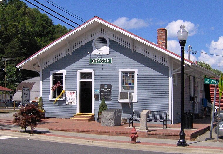
Photo: BrineStans, CC BY 3.0.
The Bryson City Depot is a train station located in Bryson City, North Carolina, United States. It serves as the only active station along the Murphy Branch, a rail line that traverses from Asheville to Murphy in Western North Carolina. Bryson City Depot is situated 1,300 feet north of One River Street.
Places in the Area
Nearby places include Bryson City.
Bryson City
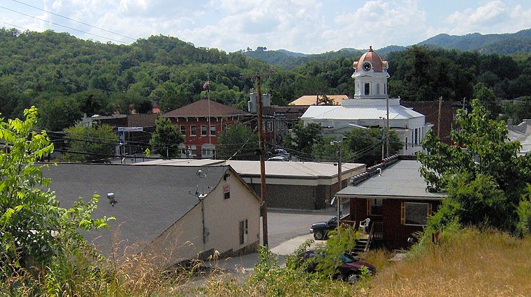
Photo: BrineStans, CC BY 3.0.
Bryson City is a small city located in the Mountains of North Carolina. The city is located near the eastern entrance of Great Smoky Mountains National Park.
One River Street
- Type: Retail building
- Address: 1 River Street, Bryson City, NC 28713
- Category: building
- Location: Charleston Township, Swain, North Carolina, South, United States, North America
- View on OpenStreetMap
Latitude
35.42686° or 35° 25′ 37″ northLongitude
-83.44674° or 83° 26′ 48″ westLevels
1Open location code
867RCHG3+P8OpenStreetMap ID
way 1150270182OpenStreetMap feature
building=retail
This page is based on OpenStreetMap, Wikidata, and Wikimedia Commons.
We’d love your help improving our open data sources. Thank you for contributing.
Satellite Map
Discover One River Street from above in high-definition satellite imagery.
Notable Places Nearby
Highlights include Bryson City United Methodist Church and Bryson City Police.
Nearby Places
Explore places such as Charleston Station and Storage unit.
North Carolina: Must-Visit Destinations
Delve into Charlotte, Raleigh, Asheville, and Greensboro.
Curious Retail Buildings to Discover
Uncover intriguing retail buildings from every corner of the globe.
About Mapcarta. Data © OpenStreetMap contributors and available under the Open Database License". Text is available under the CC BY-SA 4.0 license, except for photos, directions, and the map. Photo: southernfoodwaysalliance, CC BY 2.0.