Manheim Township Ambulance Association
Manheim Township Ambulance Association is an ambulance station in Manheim Township, Lancaster County, Pennsylvania. Manheim Township Ambulance Association is situated nearby to the police station Manheim Township Police Department, as well as near Manheim Township Municipal Park.| Tap on a place to explore it |
Places of Interest Nearby
Highlights include Lancaster station and Penn Medicine Park.
Lancaster station
Railway station

Photo: Niagara, CC BY-SA 3.0.
Lancaster station is an Amtrak railroad station and a former Pennsylvania Railroad station in Lancaster, Lancaster County in the U.S. state of Pennsylvania. Lancaster station is situated 1½ miles south of Manheim Township Ambulance Association.
Penn Medicine Park
Stadium
 Penn Medicine Park is a baseball park located in Lancaster, Pennsylvania, in the Northwest Corridor neighborhood. It is the home of the Lancaster Stormers, the city's Atlantic League of Professional Baseball franchise. Penn Medicine Park is situated 2 miles south of Manheim Township Ambulance Association.
Lancaster General Hospital
Hospital
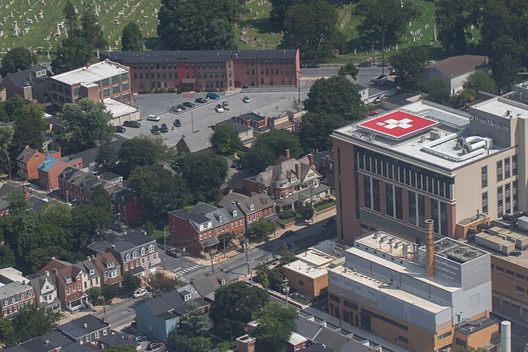
Photo: Mk170101, CC BY-SA 4.0.
Lancaster General Health is a regional hospital located in Lancaster, Pennsylvania. It is part of the University of Pennsylvania Health System. Its flagship hospital is Lancaster General Hospital. Lancaster General Hospital is situated 2 miles south of Manheim Township Ambulance Association.
Places in the Area
Nearby places include Neffsville and Lancaster.
Neffsville
Village

Photo: Wikimedia, Public domain.
Neffsville is an unincorporated community in Manheim Township, Lancaster County, Pennsylvania, United States. As an unincorporated area, Neffsville has no formalized boundaries. Neffsville is situated 1½ miles north of Manheim Township Ambulance Association.
Lancaster

Photo: Scanlan, CC BY-SA 3.0.
Lancaster is a city of around 59,000 people in Lancaster County in the Pennsylvania Dutch Country. It is one of the oldest inland towns in the United States, and the center of an area inhabited by many members of the Amish community.
Manheim Township Ambulance Association
- Type: Ambulance station
- Categories: building and health care
- Location: Manheim Township, Lancaster County, Pennsylvania Dutch Country, Pennsylvania, Mid-Atlantic, United States, North America
- View on OpenStreetMap
Latitude
40.07589° or 40° 4′ 33″ northLongitude
-76.29892° or 76° 17′ 56″ westOpen location code
87G53PG2+9COpenStreetMap ID
way 1151084781OpenStreetMap feature
building=yes
This page is based on OpenStreetMap, Wikidata, and Wikimedia Commons.
We’d love your help improving our open data sources. Thank you for contributing.
Satellite Map
Discover Manheim Township Ambulance Association from above in high-definition satellite imagery.
Notable Places Nearby
Highlights include Manheim Township Police Department and Manheim Township Municipal Park.
Nearby Places
Explore places such as McDonald’s and Jimmy John’s.
Lancaster County: Must-Visit Destinations
Delve into Lancaster, Intercourse, Elizabethtown, and Lititz.
Curious Ambulance Stations to Discover
Uncover intriguing ambulance stations from every corner of the globe.
About Mapcarta. Data © OpenStreetMap contributors and available under the Open Database License". Text is available under the CC BY-SA 4.0 license, except for photos, directions, and the map. Photo: Wikimedia, CC0.