Columbia State Community College
Columbia State Community College is a college in Maury, Tennessee. Columbia State Community College is situated nearby to the pitch Dave Hall Baseball Field, as well as near Softball Field.| Tap on a place to explore it |
Places of Interest Nearby
Highlights include Maury Regional Medical Center.
Maury Regional Medical Center
Hospital
Maury Regional Health is a not-for-profit regional health system serving southern Middle Tennessee through its hospitals, clinics, surgery centers, outpatient facilities and physician practice group. Maury Regional Medical Center is situated 2 miles east of Columbia State Community College.
Places in the Area
Nearby places include Ashwood and Columbia.
Ashwood
Hamlet
Ashwood is an unincorporated community in Maury County, Tennessee, in the United States. Most of the community has been annexed by the city of Mount Pleasant. Ashwood is situated 3½ miles southwest of Columbia State Community College.
Columbia
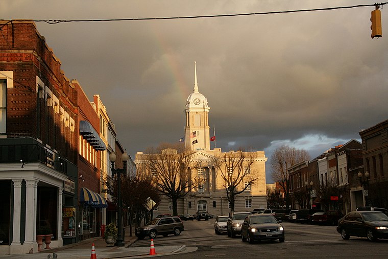 Columbia is the county seat of Maury County in Central Tennessee, and is 50 miles south of Nashville. It is home to an estimated 38,224 people and hosts a mule day festival the first weekend of April every year.
Sawdust
Hamlet
Sawdust is an unincorporated community in Maury County, Tennessee, United States. Sawdust is situated 6 miles northwest of Columbia State Community College.
Columbia State Community College
- Type: College
- Category: education
- Location: Maury, Tennessee, South, United States, North America
- View on OpenStreetMap
Latitude
35.61589° or 35° 36′ 57″ northLongitude
-87.1° or 87° 6′ westOpen location code
867JJW82+92OpenStreetMap ID
way 1153281617OpenStreetMap feature
amenity=college
This page is based on OpenStreetMap, Wikidata, and Wikimedia Commons.
We’d love your help improving our open data sources. Thank you for contributing.
Satellite Map
Discover Columbia State Community College from above in high-definition satellite imagery.
Places with the Same Name
Discover other places named “Columbia State Community College”.
Notable Places Nearby
Highlights include Dave Hall Baseball Field and Softball Field.
Nearby Places
Explore places such as Facilities Building and Clement Buidling.
Tennessee: Must-Visit Destinations
Delve into Nashville, Memphis, Knoxville, and Chattanooga.
Curious Places to Discover
Uncover intriguing places from every corner of the globe.
About Mapcarta. Data © OpenStreetMap contributors and available under the Open Database License". Text is available under the CC BY-SA 4.0 license, except for photos, directions, and the map. Photo: Wikimedia, CC0.