Entrance to Clausewitz Barracks
Entrance to Clausewitz Barracks is a building in Lower Saxony, Germany which is located on Am Rehhagen. Entrance to Clausewitz Barracks is situated nearby to the barracks Clausewitz-Kaserne, as well as near the cemetery Friedhof Langendamm.| Tap on a place to explore it |
Places of Interest Nearby
Highlights include Hostels and Jewish cemetery.
Hostels

Photo: Sanjorgepinho, CC BY-SA 4.0.
Hostels, also known as youth hostels, backpackers' hostels, or just backpackers, are a form of cheap accommodation for travellers, costing a fraction of what you'd pay at a hotel. Hostels is situated 4 km northwest of Entrance to Clausewitz Barracks.
Jewish cemetery
Cemetery

Photo: AxelHH, CC BY-SA 3.0.
Jewish cemetery is situated 3 km northwest of Entrance to Clausewitz Barracks.
Fresenhof
Museum
 Fresenhof is a museum, which is situated 4 km northwest of Entrance to Clausewitz Barracks.
Places in the Area
Nearby places include Nienburg and Linsburg.
Nienburg

Photo: Clic, CC BY-SA 4.0.
Nienburg is a town of 31,000 inhabitants in Lower Saxony. Nienburg is a charming town on the scenic river Weser, with some good places to stay and a rich variety of traditional German food.
Linsburg
Village
Linsburg is a municipality in the district of Nienburg, in Lower Saxony, Germany. Linsburg is situated 4½ km southeast of Entrance to Clausewitz Barracks.
Husum
Village
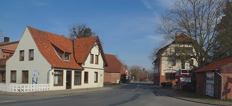
Photo: flamenc, CC BY-SA 3.0.
Husum is a municipality in the district of Nienburg, in Lower Saxony, Germany. Husum is situated 5 km south of Entrance to Clausewitz Barracks.
Entrance to Clausewitz Barracks
- Type: Building
- Address: Am Rehhagen 10, Nienburg/Weser, 31582
- Location: Lower Saxony, Germany, Central Europe, Europe
- View on OpenStreetMap
Latitude
52.61519° or 52° 36′ 55″ northLongitude
9.25179° or 9° 15′ 6″ eastOpen location code
9F4FJ782+3POpenStreetMap ID
way 1159470462OpenStreetMap feature
building=yes
This page is based on OpenStreetMap, Wikidata, and Wikimedia Commons.
We’d love your help improving our open data sources. Thank you for contributing.
Satellite Map
Discover Entrance to Clausewitz Barracks from above in high-definition satellite imagery.
Notable Places Nearby
Highlights include Clausewitz-Kaserne and Friedhof Langendamm.
Nearby Places
Explore places such as Im Grunde and nah und gut.
Lower Saxony: Must-Visit Destinations
Delve into Hanover, Göttingen, Brunswick, and Wolfsburg.
Curious Buildings to Discover
Uncover intriguing buildings from every corner of the globe.
About Mapcarta. Data © OpenStreetMap contributors and available under the Open Database License". Text is available under the CC BY-SA 4.0 license, except for photos, directions, and the map. Photo: Danapit, CC BY-SA 3.0.