AlpinLodges Matrei
AlpinLodges Matrei is a resort in Matrei in Osttirol, Lienz District, Tyrol. AlpinLodges Matrei is situated nearby to Hotel Hohe Tauern, as well as near the town hall Matrei in Osttirol.| Tap on a place to explore it |
Places of Interest Nearby
Highlights include Nationalparkhaus Matrei in Osttirol and Landesmusikschule Matrei-Iseltal.
Nationalparkhaus Matrei in Osttirol
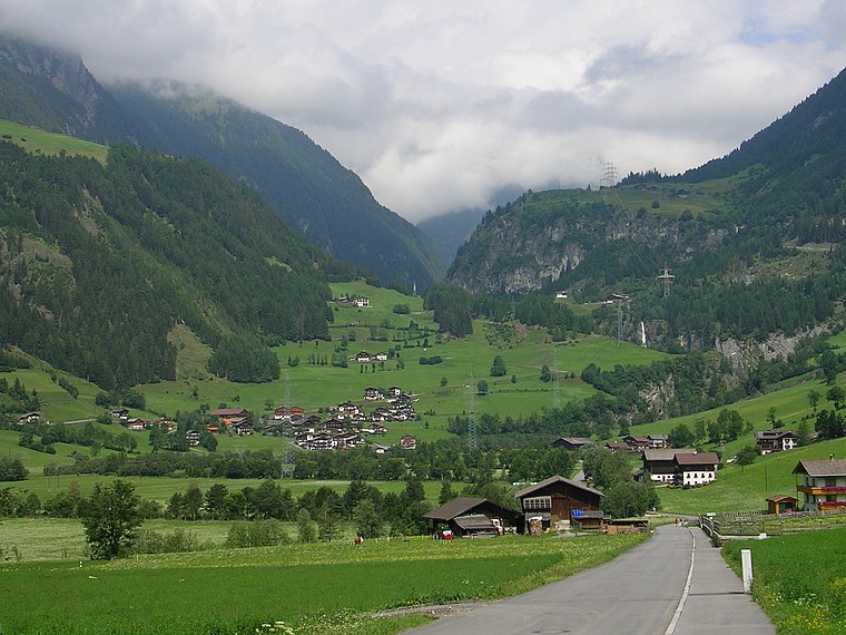
Museum

Photo: Wikimedia, CC BY-SA 4.0.
Nationalparkhaus Matrei in Osttirol is a museum, which is situated 260 metres east of AlpinLodges Matrei.
Landesmusikschule Matrei-Iseltal
School

Photo: Haeferl, CC BY-SA 4.0.
Landesmusikschule Matrei-Iseltal is a school, which is situated 260 metres northeast of AlpinLodges Matrei.
Klaunzkapelle
Church

Photo: Wikimedia, CC BY-SA 3.0.
Klaunzkapelle is a church, which is situated 500 metres east of AlpinLodges Matrei.
Places in the Area
Nearby places include Bichl and Kaltenhaus.

AlpinLodges Matrei
- Type: Resort
- Also known as: “Alpinresort Matrei”
- Categories: recreation area, accommodation, building, and tourism
- Location: Matrei in Osttirol, Lienz District, Tyrol, Austria, Central Europe, Europe
- View on OpenStreetMap
Latitude
47.00055° or 47° 0′ 2″ northLongitude
12.53737° or 12° 32′ 15″ eastOpen location code
8FVJ2G2P+6WOpenStreetMap ID
way 1163293763OpenStreetMap feature
leisure=resort
This page is based on OpenStreetMap, Wikidata, and Wikimedia Commons.
We’d love your help improving our open data sources. Thank you for contributing.
Satellite Map
Discover AlpinLodges Matrei from above in high-definition satellite imagery.
Notable Places Nearby
Highlights include Hotel Hohe Tauern and Tourismusinformation Matrei i. O..
Nearby Places
Explore places such as Dr. Elisabeth Schuster and Fleischerei Mühlstätter.
Tyrol: Must-Visit Destinations
Delve into Innsbruck, Kufstein, Lienz, and Kitzbühel.
Curious Resorts to Discover
Uncover intriguing resorts from every corner of the globe.
About Mapcarta. Data © OpenStreetMap contributors and available under the Open Database License". Text is available under the CC BY-SA 4.0 license, except for photos, directions, and the map. Photo: Codas, CC BY-SA 4.0.