pocket forest
pocket forest is a forest in Richmond, Metro Vancouver Regional District, British Columbia. pocket forest is situated nearby to the neighborhood Sunnymede, as well as near Moffatt.| Tap on a place to explore it |
Places of Interest
Highlights include Richmond Olympic Oval and Richmond Centre.
Richmond Olympic Oval
Stadium

Photo: Robert Scoble, CC BY 2.0.
The Richmond Olympic Oval is an indoor multi-sports arena in the Canadian city of Richmond, British Columbia. The oval was built for the 2010 Winter Olympics and was originally configured with a speed skating rink.
Richmond Centre
Shopping center

Photo: Wpcpey, CC BY-SA 4.0.
Richmond Centre is a shopping mall in Richmond, British Columbia, Canada. Its street address is on No. 3 Rd, with other entrances on Minoru Blvd and Granville Ave. Richmond City Hall is immediately south of it.
Minoru Park
Park
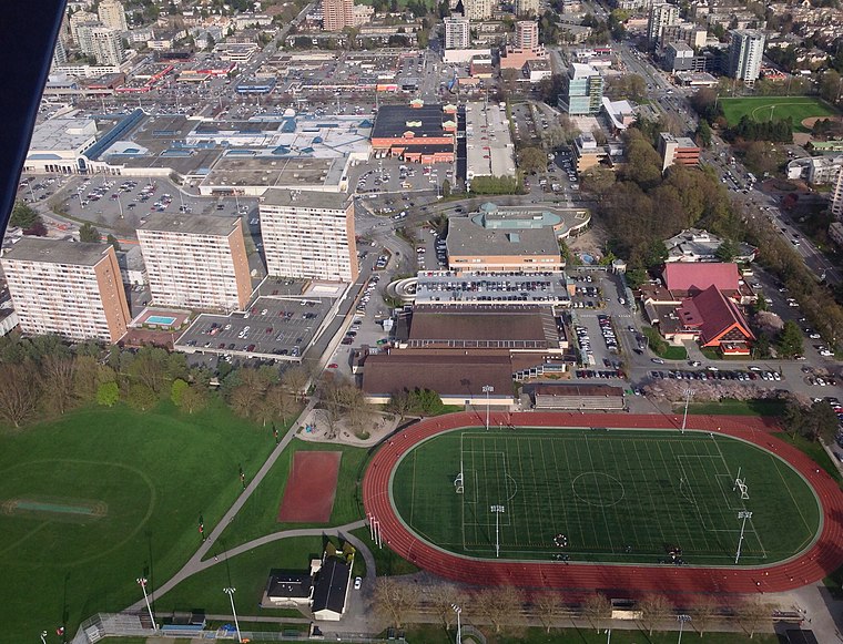
Photo: Canuckle, CC BY-SA 3.0.
Minoru Park is a park located on the site of a former horse-racing track and airstrip in Richmond, British Columbia. The park's running track is often used by School District 38 Richmond for school competitions, such as track and field.
Places in the Area
Nearby places include Richmond and Brighouse.
Richmond

Photo: Grotskiii, CC BY-SA 3.0.
Richmond is a riverine city to the south of Vancouver in the Lower Mainland of British Columbia. Comprising several islands, the city is protected by a system of dikes from the Fraser River's occasional flooding.
Brighouse
Neighborhood
Brighouse is a neighbourhood that comprises most of the urban core of Richmond in Metro Vancouver. The area includes community facilities, civic offices, Richmond Centre, and the Canada Line Richmond–Brighouse station terminus.
Marpole
Suburb
Marpole, originally a Musqueam village named c̓əsnaʔəm, is a mostly residential neighbourhood of 23,832 in 2011, located on the southern edge of the city of Vancouver, British Columbia, immediately northeast of Vancouver International Airport, and is approximately bordered by Angus Drive to the west, 57th Avenue to the north, Ontario Street to the east and the Fraser River to the south.
pocket forest
Latitude
49.1537° or 49° 9′ 13″ northLongitude
-123.1432° or 123° 8′ 36″ westOpen location code
84XR5V34+FPOpenStreetMap ID
way 1165481931OpenStreetMap feature
natural=wood
This page is based on OpenStreetMap, Wikidata, and Wikimedia Commons.
We’d love your help improving our open data sources. Thank you for contributing.
Satellite Map
Discover pocket forest from above in high-definition satellite imagery.
Localities in the Area
Explore places such as Sunnymede and Moffatt.
Notable Places Nearby
Highlights include Salvation Army Church and Marrington Neighbourhood Park.
British Columbia: Must-Visit Destinations
Delve into Vancouver, Victoria, North Vancouver, and City Centre.
Curious Forests to Discover
Uncover intriguing forests from every corner of the globe.
About Mapcarta. Data © OpenStreetMap contributors and available under the Open Database License". Text is available under the CC BY-SA 4.0 license, except for photos, directions, and the map. Photo: Thom Quine, CC BY 2.0.