Chalet Violu
Chalet Violu is a building in Grand Est, France. Chalet Violu is situated nearby to the peak Le Pain de Sucre, as well as near the village Wisembach.| Tap on a place to explore it |
Places of Interest Nearby
Highlights include Château de Faîte and Sainte-Marie-aux-Mines National Cemetery.
Château de Faîte
Castle
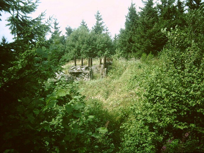
Photo: Magutasermit, CC BY-SA 3.0.
Château de Faîte is a castle, which is situated 2 km northwest of Chalet Violu.
Sainte-Marie-aux-Mines National Cemetery
Cemetery

Photo: Ji-Elle, CC BY-SA 3.0.
Sainte-Marie-aux-Mines National Cemetery is situated 1½ km northwest of Chalet Violu.
Église Saint-Pierre-sur-l’Hâte de Sainte-Marie-aux-Mines
Church

Photo: Wikimedia, CC BY-SA 3.0.
Église Saint-Pierre-sur-l’Hâte de Sainte-Marie-aux-Mines is a church, which is situated 2 km east of Chalet Violu.
Places in the Area
Nearby places include Sainte-Marie-aux-Mines and Wisembach.

Wisembach
Village
 Wisembach is a commune in the Vosges department in Grand Est in northeastern France. Wisembach is situated 4 km northwest of Chalet Violu.
Gemaingoutte
Village
 Gemaingoutte is a commune in the Vosges department in Grand Est in northeastern France. Gemaingoutte is situated 5 km northwest of Chalet Violu.
Chalet Violu
- Type: Building
- Location: Grand Est, France, Europe
- View on OpenStreetMap
Latitude
48.23238° or 48° 13′ 57″ northLongitude
7.14383° or 7° 8′ 38″ eastOpen location code
8FW964JV+WGOpenStreetMap ID
way 117096461OpenStreetMap feature
building=yes
This page is based on OpenStreetMap, Wikidata, and Wikimedia Commons.
We’d love your help improving our open data sources. Thank you for contributing.
Satellite Map
Discover Chalet Violu from above in high-definition satellite imagery.
Notable Places Nearby
Highlights include Le Pain de Sucre and Fontaine du Col.
Nearby Places
Explore places such as Ferme Auberge Chalet Pierre and Auberge Belle Vue.
Grand Est: Must-Visit Destinations
Delve into Strasbourg, Reims, Metz, and Nancy.
Curious Buildings to Discover
Uncover intriguing buildings from every corner of the globe.
About Mapcarta. Data © OpenStreetMap contributors and available under the Open Database License". Text is available under the CC BY-SA 4.0 license, except for photos, directions, and the map. Photo: Florival fr, CC BY-SA 3.0.