AGROTORRES
AGROTORRES is a farm in Oria, Almería, Andalusia. AGROTORRES is situated nearby to the peak Cerro de la Cruz, as well as near the reservoir Balsa Honda.| Tap on a place to explore it |
Places of Interest Nearby
Highlights include Ermita de San Gregorio and Basílica de Nuestra Señora de las Mercedes.
Ermita de San Gregorio
Church

Photo: Urci dream, CC BY-SA 4.0.
Ermita de San Gregorio is a church, which is situated 1¼ km east of AGROTORRES.
Basílica de Nuestra Señora de las Mercedes
Church
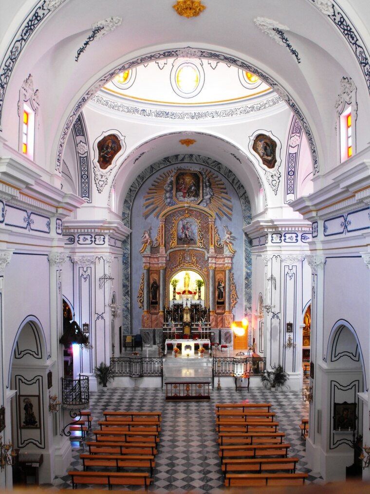
Photo: Jhistorico, CC BY-SA 4.0.
Basílica de Nuestra Señora de las Mercedes is a church, which is situated 1½ km northeast of AGROTORRES.
Places in the Area
Nearby places include Urrácal.
Urrácal
Village

Photo: Antonio Flores Túnez, CC0.
Urrácal is a municipality of Almería province, in the autonomous community of Andalusia, Spain. Urrácal is situated 10 km southwest of AGROTORRES.
AGROTORRES
Latitude
37.47666° or 37° 28′ 36″ northLongitude
-2.31246° or 2° 18′ 45″ westOpen location code
8C9VFMGQ+M2OpenStreetMap ID
way 1174002371OpenStreetMap feature
landuse=farmyardOpenStreetMap feature
shop=wholesale
This page is based on OpenStreetMap, Wikidata, and Wikimedia Commons.
We’d love your help improving our open data sources. Thank you for contributing.
Satellite Map
Discover AGROTORRES from above in high-definition satellite imagery.
Notable Places Nearby
Highlights include Ermita de San Gregorio Ostiense and Cerro de la Cruz.
Nearby Places
Explore places such as Holsanmargal S.L. and Cruz.
Almería: Must-Visit Destinations
Delve into Almería, Sierra Nevada, Roquetas de Mar, and Adra.
Curious Places to Discover
Uncover intriguing places from every corner of the globe.
About Mapcarta. Data © OpenStreetMap contributors and available under the Open Database License". Text is available under the CC BY-SA 4.0 license, except for photos, directions, and the map. Photo: isol, CC BY-SA 3.0.