Port Intérieur de Nesle
Port Intérieur de Nesle is in Mesnil-Saint-Nicaise, Arrondissement of Péronne, Hauts-de-France. Port Intérieur de Nesle is situated nearby to the place of worship Presbytère, as well as near the village Y.| Tap on a place to explore it |
Places of Interest Nearby
Highlights include Nesle station and Église Saint-Nicaise de Mesnil-Saint-Nicaise.
Nesle station
Railway station

Photo: Esprit Fugace, CC0.
Nesle is a railway station located in the commune of Nesle in the Somme department, northern France. The station is served by TER Hauts-de-France trains on the line from Amiens to Laon. Nesle station is situated 1½ km southwest of Port Intérieur de Nesle.
Église Saint-Nicaise de Mesnil-Saint-Nicaise
Church

Photo: APictche, CC BY-SA 4.0.
Église Saint-Nicaise de Mesnil-Saint-Nicaise is a church, which is situated 1 km northwest of Port Intérieur de Nesle.
Nesle Communal Cemetery, Commonwealth Plot
Cemetery

Photo: Ybroc, CC BY-SA 4.0.
Nesle Communal Cemetery, Commonwealth Plot is situated 1½ km southwest of Port Intérieur de Nesle.
Places in the Area
Nearby places include Y and Puzeaux.
Y
Village
Puzeaux
Village
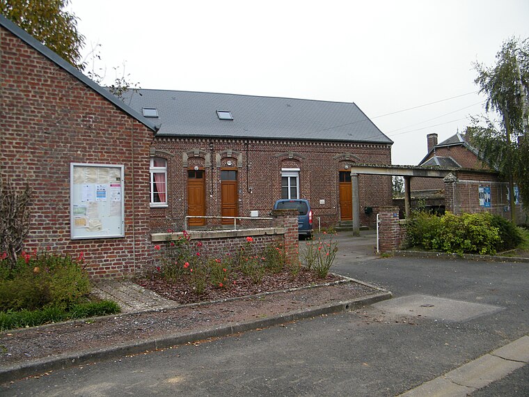
Photo: APictche, CC BY-SA 4.0.
Puzeaux is a commune in the Somme department in Hauts-de-France in northern France. Puzeaux is situated 8 km west of Port Intérieur de Nesle.
Saint-Christ-Briost
Village

Photo: APictche, CC BY-SA 4.0.
Saint-Christ-Briost is a commune in the Somme department in Hauts-de-France in northern France. Saint-Christ-Briost is situated 9 km north of Port Intérieur de Nesle.
Port Intérieur de Nesle
- Type: Industry
- Location: Mesnil-Saint-Nicaise, Arrondissement of Péronne, Somme, Hauts-de-France, France, Europe
- View on OpenStreetMap
Latitude
49.76993° or 49° 46′ 12″ northLongitude
2.9264° or 2° 55′ 35″ eastOpen location code
8FX4QW9G+XHOpenStreetMap ID
way 1175602958OpenStreetMap feature
landuse=industrial
This page is based on OpenStreetMap, Wikidata, and Wikimedia Commons.
We’d love your help improving our open data sources. Thank you for contributing.
Satellite Map
Discover Port Intérieur de Nesle from above in high-definition satellite imagery.
Notable Places Nearby
Highlights include Presbytère and Mairie de Mesnil-Saint-Nicaise.
Nearby Places
Explore places such as Total and MG Motor.
Hauts-de-France: Must-Visit Destinations
Delve into Lille, Dunkirk, Calais, and Amiens.
Curious Places to Discover
Uncover intriguing places from every corner of the globe.
About Mapcarta. Data © OpenStreetMap contributors and available under the Open Database License". Text is available under the CC BY-SA 4.0 license, except for photos, directions, and the map. Photo: Inkey, Public domain.