PTA boys hostel
PTA boys hostel is a building in Keta, Volta Region. PTA boys hostel is situated nearby to the village Dzelukope, as well as near Pioneers Library.| Tap on a place to explore it |
Places of Interest Nearby
Highlights include Keta Senior High Technical School and Fort Prinzenstein.
Keta Senior High Technical School
School

Photo: Noahalorwu, CC BY-SA 4.0.
Keta Senior High Technical School formerly Keta Secondary School, is a mixed Public Senior High School located at Dzelukope, a town in the Keta Municipal District of the Volta Region, Ghana. Keta Senior High Technical School is situated 360 metres east of PTA boys hostel.
Fort Prinzenstein
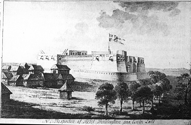
Photo: Wikimedia, Public domain.
Fort Prinzenstein is a fort located at Keta, Ghana, which was used in the slave trade. Many such forts were built in Africa, but Prinzenstein is one of the few that lie east of the Volta River. Fort Prinzenstein is situated 3 km north of PTA boys hostel.
Places in the Area
Nearby places include Dzelukope and Tegbi.
Dzelukope
Village
Dzelukope is a town located near Keta in the Volta Region of Ghana. Victoria Agbotui, mother of Jerry John Rawlings, was born in Dzelukope in 1919.
Tegbi
Town
Tegbi is a small town in the Keta Municipal district of the Volta Region of Ghana. It is mainly populated by Ewe people. Tegbi is situated 5 km south of PTA boys hostel.
Weh
Village
Woe is a small rural town in Ghana's Volta region near the larger town of Keta. Woe's economy relies heavily on fishing. The predominant local language of Woe is Ewe, with the population predominantly of the Ewe tribe. Weh is situated 8 km southwest of PTA boys hostel.
PTA boys hostel
- Type: Building
- Location: Keta, Volta Region, Ghanaian Coastal Plain, Ghana, West Africa, Africa
- View on OpenStreetMap
Latitude
5.89546° or 5° 53′ 44″ northLongitude
0.98546° or 0° 59′ 8″ eastOpen location code
6FQ2VXWP+55OpenStreetMap ID
way 1178378377OpenStreetMap feature
building=yes
This page is based on OpenStreetMap, Wikidata, and Wikimedia Commons.
We’d love your help improving our open data sources. Thank you for contributing.
Satellite Map
Discover PTA boys hostel from above in high-definition satellite imagery.
Notable Places Nearby
Highlights include Pioneers Library and St. Peter Claver RC Church.
Nearby Places
Explore places such as Junior Block and Boys City Block.
Ghanaian Coastal Plain: Must-Visit Destinations
Delve into Accra, Sekondi-Takoradi, Cape Coast, and Tema.
Curious Buildings to Discover
Uncover intriguing buildings from every corner of the globe.
About Mapcarta. Data © OpenStreetMap contributors and available under the Open Database License". Text is available under the CC BY-SA 4.0 license, except for photos, directions, and the map. Photo: Wikimedia, CC0.