REPLACE HYDRANT FUELING SYSTEM CONSTRUCTION PROJECT
REPLACE HYDRANT FUELING SYSTEM CONSTRUCTION PROJECT is in Greene, Ohio. REPLACE HYDRANT FUELING SYSTEM CONSTRUCTION PROJECT is situated nearby to the military installation Motorpool, as well as near Fire Station #2.| Tap on a place to explore it |
Places in the Area
Nearby places include Fairborn and Medway.
Fairborn
Town
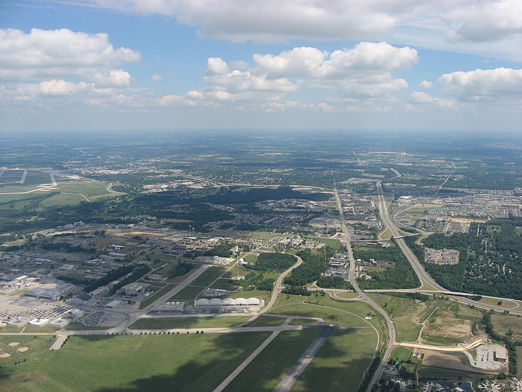
Photo: Nyttend, Public domain.
Fairborn is a city in Greene County, Ohio, United States. The population was 34,620 at the 2020 census. It is a suburb of Dayton and part of the Dayton metropolitan area. Fairborn is situated 1½ miles southeast of REPLACE HYDRANT FUELING SYSTEM CONSTRUCTION PROJECT.
Medway
Hamlet
Medway is an unincorporated community and census-designated place in Bethel Township, Clark County, Ohio, United States. It is part of the Springfield, Ohio Metropolitan Statistical Area. Medway is situated 3½ miles northeast of REPLACE HYDRANT FUELING SYSTEM CONSTRUCTION PROJECT.
Brandt
Hamlet
Brandt is an unincorporated community and census-designated place in southern Bethel Township, Miami County, Ohio, United States. Brandt is part of the Dayton Metropolitan Statistical Area. Brandt is situated 5 miles northwest of REPLACE HYDRANT FUELING SYSTEM CONSTRUCTION PROJECT.
REPLACE HYDRANT FUELING SYSTEM CONSTRUCTION PROJECT
- Type: Construction
- Location: Greene, Ohio, Midwest, United States, North America
- View on OpenStreetMap
Latitude
39.83819° or 39° 50′ 18″ northLongitude
-84.04261° or 84° 2′ 33″ westOpen location code
86FQRXQ4+7XOpenStreetMap ID
way 1180386375OpenStreetMap feature
landuse=construction
This page is based on OpenStreetMap, Wikidata, and Wikimedia Commons.
We’d love your help improving our open data sources. Thank you for contributing.
Satellite Map
Discover REPLACE HYDRANT FUELING SYSTEM CONSTRUCTION PROJECT from above in high-definition satellite imagery.
Notable Places Nearby
Highlights include Motorpool and Fire Station #2.
Nearby Places
Explore places such as 4028 and 445th Airlift Wing HQ.
Ohio: Must-Visit Destinations
Delve into Columbus, Cincinnati, Cleveland, and Bowling Green.
Curious Places to Discover
Uncover intriguing places from every corner of the globe.
About Mapcarta. Data © OpenStreetMap contributors and available under the Open Database License". Text is available under the CC BY-SA 4.0 license, except for photos, directions, and the map. Photo: Wikimedia, CC0.