Rich’s Frozen Custard
Rich’s Frozen Custard is an ice cream parlor in Township of Oakville, St. Louis County, Missouri which is located on Telegraph Road. Rich’s Frozen Custard is situated nearby to the place of worship Monastery of Saint Clare, as well as near the town Oakville.| Tap on a place to explore it |
Places in the Area
Nearby places include Oakville and Mehlville.
Oakville
Town
Oakville is an unincorporated community and census-designated place in south St. Louis County, Missouri, United States. The population was 36,301 at the 2020 census.
Mehlville
Town
Mehlville is an unincorporated community and census-designated place in south St. Louis County, Missouri, United States, an area locally known as "South County". It is an inner-ring suburb of St. Louis, and part of the Greater St. Louis metropolitan area. Mehlville is situated 3½ miles north of Rich’s Frozen Custard.
Arnold
Town
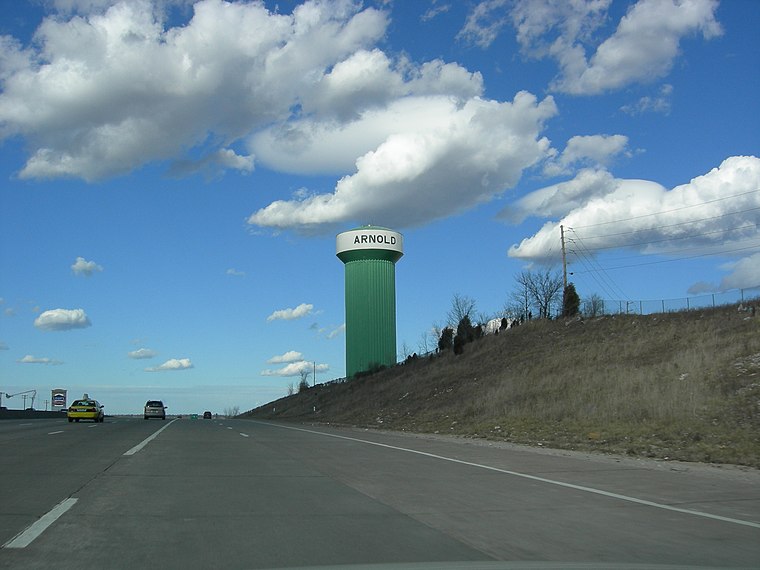
Photo: Fredlander, Public domain.
Arnold is a city in northeastern Jefferson County, Missouri, situated near the confluence of the Meramec and Mississippi rivers. A suburb of St. Louis, the city lies within the Greater St. Arnold is situated 4½ miles southwest of Rich’s Frozen Custard.
Rich’s Frozen Custard
- Type: Ice cream parlor
- Address: 6065 Telegraph Road, 63129
- Categories: building and food
- Location: Township of Oakville, St. Louis County, St. Louis Area, Missouri, Midwest, United States, North America
- View on OpenStreetMap
Latitude
38.45674° or 38° 27′ 24″ northLongitude
-90.3069° or 90° 18′ 25″ westOpen location code
86CFFM4V+M6OpenStreetMap ID
way 1181773088OpenStreetMap feature
amenity=ice_creamOpenStreetMap feature
building=yes
This page is based on OpenStreetMap, Wikidata, and Wikimedia Commons.
We’d love your help improving our open data sources. Thank you for contributing.
Satellite Map
Discover Rich’s Frozen Custard from above in high-definition satellite imagery.
Notable Places Nearby
Highlights include Monastery of Saint Clare and Susan Road Access.
Nearby Places
Explore places such as Papa John’s and Walgreens.
St. Louis Area: Must-Visit Destinations
Delve into St. Louis, Ferguson, and St. Charles.
Curious Ice Cream Parlors to Discover
Uncover intriguing ice cream parlors from every corner of the globe.
About Mapcarta. Data © OpenStreetMap contributors and available under the Open Database License". Text is available under the CC BY-SA 4.0 license, except for photos, directions, and the map. Photo: Wikimedia, CC BY-SA 4.0.