Providence Place
Providence Place is in Center Township, Marion, Indiana. Providence Place is situated nearby to Living Word Baptist Church, as well as near Otterbein United Methodist Church.| Tap on a place to explore it |
Places of Interest Nearby
Highlights include Community Hospital East Campus and Scecina Memorial High School.
Community Hospital East Campus
Hospital
Community Hospital East is a hospital located in Indianapolis, Indiana, and is part of the Community Health Network group of hospitals in Indiana. Community Hospital East Campus is situated 1 mile southeast of Providence Place.
Scecina Memorial High School
School
Scecina Memorial High School is a Roman Catholic co-educational high school located on the East Side of Indianapolis, Indiana. It is named in honor of Fr. Thomas Scecina, a priest from Indianapolis who was killed in action during the Second World War. Scecina Memorial High School is situated 3,200 feet south of Providence Place.
Indy’s Teeny Statue of Liberty Museum
Museum

Photo: Jim.henderson, CC BY-SA 4.0.
Indy’s Teeny Statue of Liberty Museum is situated 2 miles southwest of Providence Place.
Places in the Area
Nearby places include Little Flower and Irvington Historic District.
Little Flower
Neighborhood
Little Flower is a neighborhood on the near eastside of Indianapolis, Indiana. Its boundaries are 16th Street, 10th Street, Emerson Avenue, and Sherman Drive.
Irvington Historic District
Neighborhood
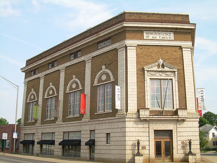
Photo: Kcflood, Public domain.
The neighborhood of Irvington, named after Washington Irving, includes Irvington Historic District, a historic district in Indianapolis, Indiana. The historic district is a 545-acre area that was listed on the National Register of Historic Places in 1987. Irvington Historic District is situated 2 miles south of Providence Place.
Warren Park
Town
Warren Park is a town in Warren Township, Marion County, Indiana, United States. The population was 1,490 at the 2020 census. It has existed as an "included town" since 1970, when it was incorporated into Indianapolis as part of Unigov. Warren Park is situated 2 miles southeast of Providence Place.
Providence Place
- Type: Construction
- Location: Center Township, Marion, Indiana, Midwest, United States, North America
- View on OpenStreetMap
Latitude
39.79603° or 39° 47′ 46″ northLongitude
-86.08657° or 86° 5′ 12″ westOpen location code
86FMQWW7+C9OpenStreetMap ID
way 1187341372OpenStreetMap feature
landuse=construction
This page is based on OpenStreetMap, Wikidata, and Wikimedia Commons.
We’d love your help improving our open data sources. Thank you for contributing.
Satellite Map
Discover Providence Place from above in high-definition satellite imagery.
Places with the Same Name
Discover other places named “Providence Place”.
Notable Places Nearby
Highlights include Living Word Baptist Church and Otterbein United Methodist Church.
Nearby Places
Explore places such as 21st and Riley OB and 21st and Emerson Knoll IB.
Indiana: Must-Visit Destinations
Delve into Indianapolis, Fort Wayne, Gary, and Evansville.
Curious Places to Discover
Uncover intriguing places from every corner of the globe.
About Mapcarta. Data © OpenStreetMap contributors and available under the Open Database License". Text is available under the CC BY-SA 4.0 license, except for photos, directions, and the map. Photo: Wikimedia, CC0.