Heliporto do Hospital Álvaro Cunqueiro
Heliporto do Hospital Álvaro Cunqueiro is a helipad in Vigo, Pontevedra, Galicia. Heliporto do Hospital Álvaro Cunqueiro is situated nearby to the museum Museo Sanitario de Vigo, MUSAVI, as well as near the work of art The Titan.| Tap on a place to explore it |
Places of Interest Nearby
Highlights include The Titan and Balaídos Stadium.
The Titan
Work of art

Photo: HombreDHojalata, CC BY-SA 4.0.
The Titan is a work of art, which is situated 330 metres north of Heliporto do Hospital Álvaro Cunqueiro.
Balaídos Stadium
Stadium
 The Balaídos Stadium, known as Estadio Abanca Balaídos for sponsorship reasons, is an all-seater stadium located in Vigo, Spain. It is owned by the Vigo's city council, and is the home of La Liga club Celta Vigo. Balaídos Stadium is situated 3½ km northwest of Heliporto do Hospital Álvaro Cunqueiro.
Museo Quiñones de León
Museum
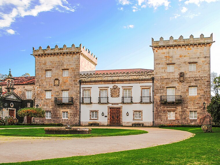
Photo: HombreDHojalata, CC BY-SA 3.0.
Museo Quiñones de León is a museum, which is situated 3 km north of Heliporto do Hospital Álvaro Cunqueiro.
Places in the Area
Nearby places include As Barrocas and A Igrexa.

A Igrexa
Hamlet

Photo: Bopeixe, CC BY-SA 4.0.
A Igrexa is a hamlet, which is situated 2½ km northwest of Heliporto do Hospital Álvaro Cunqueiro.
A Igrexa
Neighborhood

Photo: Lameiro, CC BY-SA 4.0.
A Igrexa is a neighborhood, which is situated 2½ km north of Heliporto do Hospital Álvaro Cunqueiro.
Heliporto do Hospital Álvaro Cunqueiro
- Type: Helipad
- Category: transportation
- Location: Vigo, Pontevedra, Galicia, Green Spain, Spain, Iberia, Europe
- View on OpenStreetMap
Latitude
42.18783° or 42° 11′ 16″ northLongitude
-8.71413° or 8° 42′ 51″ westOpen location code
8CJH57QP+49OpenStreetMap ID
way 1196075661OpenStreetMap feature
aeroway=helipad
This page is based on OpenStreetMap, Wikidata, and Wikimedia Commons.
We’d love your help improving our open data sources. Thank you for contributing.
Satellite Map
Discover Heliporto do Hospital Álvaro Cunqueiro from above in high-definition satellite imagery.
Notable Places Nearby
Highlights include Museo Sanitario de Vigo, MUSAVI and Igrexa de Santo Estevo de Beade.
Nearby Places
Explore places such as Hospital Álvaro Cunqueiro and Ctra Venda,240.
Galicia: Must-Visit Destinations
Delve into Santiago de Compostela, Lugo, Pontevedra, and A Coruña.
Curious Helipads to Discover
Uncover intriguing helipads from every corner of the globe.
About Mapcarta. Data © OpenStreetMap contributors and available under the Open Database License". Text is available under the CC BY-SA 4.0 license, except for photos, directions, and the map. Photo: Edu, CC BY 2.0.