Rauno ja Liisa Ruuhijärven metsä
Rauno ja Liisa Ruuhijärven metsä is a nature reserve in Vantaa, Helsinki sub-region, Uusimaa. Rauno ja Liisa Ruuhijärven metsä is situated nearby to the suburb Vierumäki, as well as near the locality Tussinkoski.| Tap on a place to explore it |
Places of Interest
Highlights include Korso railway station and Lumo Library.
Korso railway station
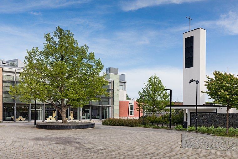
Railway station
 Korso railway station is a Helsinki commuter rail station located in the district of Korso in the city of Vantaa, Finland. It is located approximately 22 kilometres from Helsinki Central railway station.

Rekola railway station
Railway station

Photo: Junafani, CC BY-SA 3.0.
Rekola railway station is a Helsinki commuter rail station located in the district of Rekola in the city of Vantaa, Finland. It is located approximately 20 kilometres from Helsinki Central railway station.
Places in the Area
Nearby places include Tuusula and Kerava.
Tuusula

Photo: Ypsilon from Finland, CC0.
Tuusula is a municipality in Finland, located in the southern interior of the country. Tuusula is situated in the centre of the Uusimaa region. The population of Tuusula is approximately 43,000.
Kerava

Photo: Ypsilon from Finland, CC0.
Kerava is a town in Central Uusimaa, in Southern Finland. It's located about 30km to the north from Helsinki and is part of the greater metropolitan area.
Korso
Suburb
 Vantaa is in the Uusimaa region in southern Finland, right north of Helsinki. Part of the Helsinki Metropolitan Area, it is the fourth most populous city in Finland with about 240,000 inhabitants as of 2021.
Rauno ja Liisa Ruuhijärven metsä
- Type: Nature reserve
- Category: recreation area
- Location: Vantaa, Helsinki sub-region, Uusimaa, Southern Finland, Finland, Nordic countries, Europe
- View on OpenStreetMap
Latitude
60.3618° or 60° 21′ 42″ northLongitude
25.0427° or 25° 2′ 34″ eastOpen location code
9GG7926V+P3OpenStreetMap ID
way 1201131719OpenStreetMap feature
leisure=nature_reserve
This page is based on OpenStreetMap, Wikidata, and Wikimedia Commons.
We’d love your help improving our open data sources. Thank you for contributing.
Satellite Map
Discover Rauno ja Liisa Ruuhijärven metsä from above in high-definition satellite imagery.
Localities in the Area
Explore places such as Vierumäki and Tussinkoski.
Notable Places Nearby
Highlights include Vierumäki and Korkinmäki.
Uusimaa: Must-Visit Destinations
Delve into Helsinki, Espoo, Porvoo, and Lohja.
Curious Nature Reserves to Discover
Uncover intriguing nature reserves from every corner of the globe.
About Mapcarta. Data © OpenStreetMap contributors and available under the Open Database License". Text is available under the CC BY-SA 4.0 license, except for photos, directions, and the map. Photo: Wikimedia, CC0.