Bergrivier HS
Bergrivier HS is a school building in Drakenstein Local Municipality, Cape Winelands District Municipality, Western Cape. Bergrivier HS is situated nearby to the pitch Saint Albans, as well as near Wellington Cemetery.| Tap on a place to explore it |
Places of Interest Nearby
Highlights include Wellington railway station.
Wellington railway station
Railway station
Wellington railway station is the railway station that serves the town of Wellington in the Western Cape province of South Africa. It is the terminus of the Metrorail Northern Line service from Cape Town Station, except for a single train daily in each direction as far as Worcester. Wellington railway station is situated 1½ km north of Bergrivier HS.
Places in the Area
Nearby places include Wellington and Paarl.
Wellington
Town
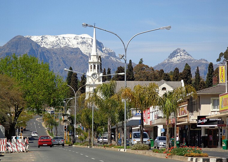
Photo: Andresdewet, CC BY-SA 3.0.
Wellington is a town in the Western Cape province of South Africa with a population of approximately 62,000. Wellington's economy is centered on products of agriculture such as deciduous fruit, table grapes, wine and brandy.
Paarl

Photo: Tim Parkinson, CC BY 2.0.
Paarl is the third-oldest town in South Africa and is approximately 60 km to the north-west of Cape Town. It is famous for having one of the world's largest rock outcrops.
Denneburg
Suburb
Paarl is a town with 294,457 inhabitants in the Western Cape province of South Africa. It is the largest town in the Cape Winelands. Due to the growth of the Mbekweni township, it is now a de facto urban unit with Wellington. Denneburg is situated 10 km south of Bergrivier HS.
Bergrivier HS
- Type: School building
- Categories: building and education
- Location: Drakenstein Local Municipality, Cape Winelands District Municipality, Western Cape, South Africa, Southern Africa, Africa
- View on OpenStreetMap
Latitude
-33.649° or 33° 38′ 56″ southLongitude
18.99359° or 18° 59′ 37″ eastLevels
1Height
5 metres (16 feet)Open location code
4FRW9X2V+9COpenStreetMap ID
way 1209890482OpenStreetMap feature
building=school
This page is based on OpenStreetMap, Wikidata, and Wikimedia Commons.
We’d love your help improving our open data sources. Thank you for contributing.
Satellite Map
Discover Bergrivier HS from above in high-definition satellite imagery.
Places with the Same Name
Discover other places named “Bergrivier HS”.
Notable Places Nearby
Highlights include Saint Albans and Wellington Cemetery.
Nearby Places
Explore places such as Bergrivier HS and Bergrivier High.
Western Cape: Must-Visit Destinations
Delve into Cape Town, Robben Island, Stellenbosch, and George.
Curious Schools to Discover
Uncover intriguing schools from every corner of the globe.
About Mapcarta. Data © OpenStreetMap contributors and available under the Open Database License". Text is available under the CC BY-SA 4.0 license, except for photos, directions, and the map. Photo: Wikimedia, CC0.