Nashville Ready Mix
Nashville Ready Mix is in Wilson, Tennessee. Nashville Ready Mix is situated nearby to the railway station Mt. Juliet station, as well as near Mount Juliet Post Office.| Tap on a place to explore it |
Places of Interest Nearby
Highlights include Mt. Juliet station.
Mt. Juliet station
Railway station

Photo: Ichabod, CC BY-SA 3.0.
Mt. Juliet station is a train station in Mount Juliet, Tennessee, serving Nashville's commuter rail service, the WeGo Star. Service began September 18, 2006. Mt. Juliet station is situated 1,400 feet northwest of Nashville Ready Mix.
Places in the Area
Nearby places include Mount Juliet and Belinda City.
Mount Juliet
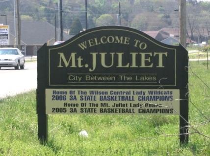
Photo: Ichabod, CC BY-SA 3.0.
Mount Juliet is a town in Central Tennessee. The city had a population of about 39,000 people in 2020.
Belinda City
Hamlet
Belinda City is a colloquial name given to a community in the city of Mount Juliet, Wilson County, Tennessee. The community was originally an unincorporated area in west-central Wilson County running along Belinda parkway, just southeast of the city of Mt. Belinda City is situated 2½ miles southeast of Nashville Ready Mix.
Cedar Grove
Hamlet
Cedar Grove is an unincorporated community in Wilson County, Tennessee, United States. Cedar Grove is located along the northwestern border of Mt. Juliet. Cedar Grove is situated 4 miles north of Nashville Ready Mix.
Nashville Ready Mix
- Type: Industry
- Location: Wilson, Tennessee, South, United States, North America
- View on OpenStreetMap
Latitude
36.19752° or 36° 11′ 51″ northLongitude
-86.51269° or 86° 30′ 46″ westOpen location code
868M5FXP+2WOpenStreetMap ID
way 1210590712OpenStreetMap feature
landuse=industrial
This page is based on OpenStreetMap, Wikidata, and Wikimedia Commons.
We’d love your help improving our open data sources. Thank you for contributing.
Satellite Map
Discover Nashville Ready Mix from above in high-definition satellite imagery.
Places with the Same Name
Discover other places named “Nashville Ready Mix”.
Notable Places Nearby
Highlights include Mount Juliet Post Office and Jones Family Park.
Nearby Places
Explore places such as Imi Concrete and JDC Solutions, Inc..
Tennessee: Must-Visit Destinations
Delve into Nashville, Memphis, Knoxville, and Chattanooga.
Curious Places to Discover
Uncover intriguing places from every corner of the globe.
About Mapcarta. Data © OpenStreetMap contributors and available under the Open Database License". Text is available under the CC BY-SA 4.0 license, except for photos, directions, and the map. Photo: Wikimedia, CC0.