FREMAP Centro Asistencial
FREMAP Centro Asistencial is a clinic in Seville, Seville, Andalusia. FREMAP Centro Asistencial is situated nearby to the college Escuela de Arte Nervión, as well as near the marketplace Mercado de las Palmeritas.| Tap on a place to explore it |
Places of Interest Nearby
Highlights include Ramón Sánchez-Pizjuán Stadium and Parque Federico García Lorca.
Ramón Sánchez-Pizjuán Stadium
Stadium

Photo: Niels98, CC BY-SA 4.0.
The Ramón Sánchez-Pizjuán Stadium is a football stadium in Seville, Spain. It is the home stadium of Sevilla, and is named after the club's former president, Ramón Sánchez-Pizjuán. Ramón Sánchez-Pizjuán Stadium is situated 780 metres northwest of FREMAP Centro Asistencial.
Parque Federico García Lorca
Park

Photo: Gzzz, CC BY-SA 3.0.
Parque Federico García Lorca is a park, which is situated 360 metres west of FREMAP Centro Asistencial.
Hospital de San Juan de Dios, Sevilla
Hospital

Photo: CarlosVdeHabsburgo, CC BY-SA 4.0.
Hospital de San Juan de Dios, Sevilla is situated 460 metres northwest of FREMAP Centro Asistencial.
Places in the Area
Nearby places include Nervión and Buhaira Gardens.
Nervión
Neighborhood

Photo: CarlosVdeHabsburgo, CC BY-SA 4.0.
Nervión is a district of Seville, Spain. It lies to the east of the city centre, to the north of the Distrito Sur, to the south of San Pablo-Santa Justa and to the west of Cerro-Amate.
Buhaira Gardens
Neighborhood
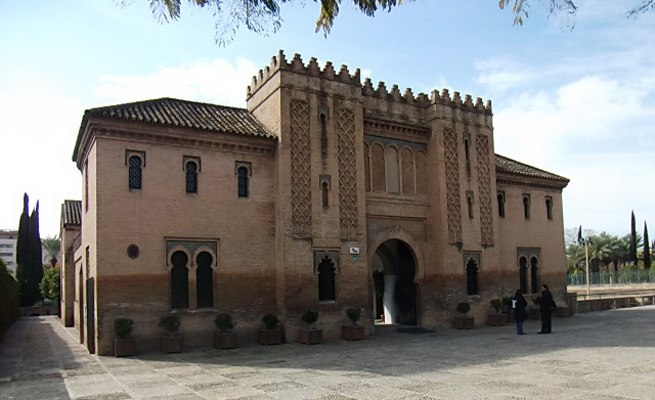
Photo: 888pablo888, CC BY-SA 3.0.
The Buhaira Gardens, also known as the Buhaira Palace or the Buḥayra, is a former Almohad garden and palace in Seville, Spain. It was created in the 12th century.

FREMAP Centro Asistencial
- Type: Clinic
- Categories: health care and building
- Location: Seville, Seville, Andalusia, Spain, Iberia, Europe
- View on OpenStreetMap
Latitude
37.37773° or 37° 22′ 40″ northLongitude
-5.96679° or 5° 58′ 0″ westOpen location code
8C9P92HM+37OpenStreetMap ID
way 121160999OpenStreetMap feature
amenity=clinicOpenStreetMap feature
building=yesOpenStreetMap feature
healthcare=clinic
This page is based on OpenStreetMap, Wikidata, and Wikimedia Commons.
We’d love your help improving our open data sources. Thank you for contributing.
Satellite Map
Discover FREMAP Centro Asistencial from above in high-definition satellite imagery.
Notable Places Nearby
Highlights include Mercado de las Palmeritas and Escuela de Arte Nervión.
Nearby Places
Explore places such as IES Beatriz de Suabia and 176 Avenida de la Ciudad Jardin.
Curious Clinics to Discover
Uncover intriguing clinics from every corner of the globe.
About Mapcarta. Data © OpenStreetMap contributors and available under the Open Database License". Text is available under the CC BY-SA 4.0 license, except for photos, directions, and the map. Photo: Wikimedia, CC BY-SA 4.0.