BEAG Agrar GmbH
BEAG Agrar GmbH is a farm in Hörselberg-Hainich, Wartburgkreis, Thuringia. BEAG Agrar GmbH is situated nearby to the playground Anwohnerspielplatz, as well as near the power station SKW Behringen I+II.| Tap on a place to explore it |
Places of Interest Nearby
Highlights include Church Behringen and St. Laurentius (Wolfsbehringen).
Church Behringen
Church

Photo: Metilsteiner, CC BY-SA 3.0.
Church Behringen is situated 1 km northeast of BEAG Agrar GmbH.
St. Laurentius (Wolfsbehringen)
Church

Photo: Metilsteiner, CC BY-SA 3.0.
St. Laurentius (Wolfsbehringen) is a church, which is situated 1½ km southwest of BEAG Agrar GmbH.
Protestant Church (Oesterbehringen)
Church

Photo: Wikswat, CC BY-SA 3.0.
Protestant Church (Oesterbehringen) is situated 1½ km northeast of BEAG Agrar GmbH.
Places in the Area
Nearby places include Grossenbehringen and Behringen.
Grossenbehringen
Neighborhood

Photo: Metilsteiner, CC BY-SA 3.0.
Grossenbehringen is a neighborhood.
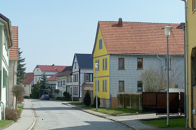
Behringen
Village

Photo: Wikimedia, CC BY-SA 4.0.
Behringen is a former municipality in the Wartburgkreis district of Thuringia, Germany. Since 1 December 2007, it is part of the municipality Hörselberg-Hainich.
BEAG Agrar GmbH
- Type: Farm
- Category: agriculture
- Location: Hörselberg-Hainich, Wartburgkreis, Thuringia, Germany, Central Europe, Europe
- View on OpenStreetMap
Latitude
51.0165° or 51° 0′ 59″ northLongitude
10.50637° or 10° 30′ 23″ eastOpen location code
9F3G2G84+JGOpenStreetMap ID
way 1211698867OpenStreetMap feature
landuse=farmyard
This page is based on OpenStreetMap, Wikidata, and Wikimedia Commons.
We’d love your help improving our open data sources. Thank you for contributing.
Satellite Map
Discover BEAG Agrar GmbH from above in high-definition satellite imagery.
Notable Places Nearby
Highlights include Anwohnerspielplatz and SKW Behringen I+II.
Nearby Places
Explore places such as Milchviehanlage Behringen and Wolfsbehringer Str..
Curious Farms to Discover
Uncover intriguing farms from every corner of the globe.
About Mapcarta. Data © OpenStreetMap contributors and available under the Open Database License". Text is available under the CC BY-SA 4.0 license, except for photos, directions, and the map. Photo: Taxiarchos228, FAL.