Tennessee Department of Transportation
Tennessee Department of Transportation is in Montgomery, Tennessee. Tennessee Department of Transportation is situated nearby to Saint Bethlehem Post Office, as well as near the hamlet New Providence.| Tap on a place to explore it |
Places in the Area
Nearby places include Saint Bethlehem and Clarksville.
Saint Bethlehem
Hamlet
Saint Bethlehem or St. Bethlehem, also called "St. B" by locals, was an unincorporated community in Montgomery County, Tennessee, located just northeast of downtown Clarksville.
Clarksville
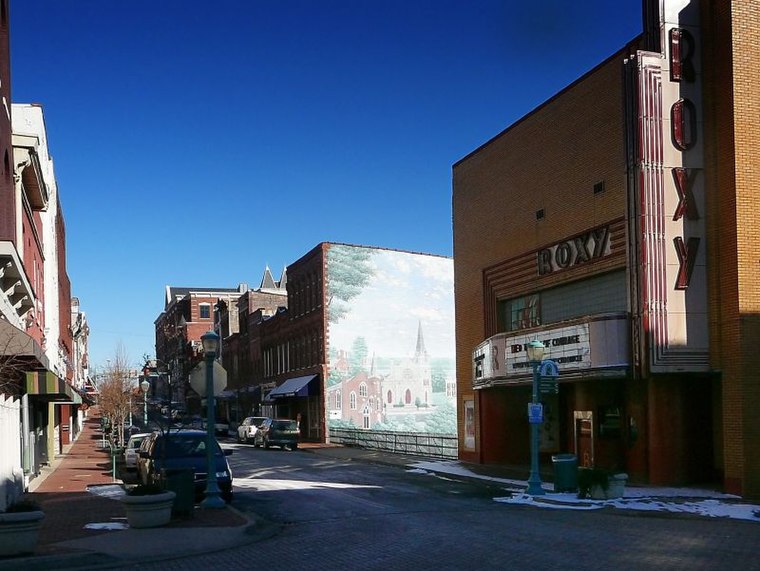
Photo: Bob Jagendorf, CC BY 2.0.
Clarksville is the county seat of Montgomery County, in Central Tennessee. Founded in 1784, Clarksville is one of the south's most historic cities. Today, visitors can experience that history through memorable attractions, unique historic architecture and a variety of annual festivals and events.
New Providence
Hamlet
New Providence was a small railroad town in Montgomery County, Tennessee. It was a mostly working-class city until about the mid-20th century, when it was annexed by the nearby city of Clarksville. New Providence is situated 3½ miles west of Tennessee Department of Transportation.
Tennessee Department of Transportation
- Type: Industry
- Location: Montgomery, Tennessee, South, United States, North America
- View on OpenStreetMap
Latitude
36.55892° or 36° 33′ 32″ northLongitude
-87.31945° or 87° 19′ 10″ westOpen location code
868JHM5J+H6OpenStreetMap ID
way 1212180400OpenStreetMap feature
landuse=industrial
This page is based on OpenStreetMap, Wikidata, and Wikimedia Commons.
We’d love your help improving our open data sources. Thank you for contributing.
Satellite Map
Discover Tennessee Department of Transportation from above in high-definition satellite imagery.
Places with the Same Name
Discover other places named “Tennessee Department of Transportation”.
Notable Places Nearby
Highlights include Saint Bethlehem Post Office and Fellowship Church.
Nearby Places
Explore places such as Clarksville Department of Electricity and United States Post Office.
Tennessee: Must-Visit Destinations
Delve into Nashville, Memphis, Knoxville, and Chattanooga.
Curious Places to Discover
Uncover intriguing places from every corner of the globe.
About Mapcarta. Data © OpenStreetMap contributors and available under the Open Database License". Text is available under the CC BY-SA 4.0 license, except for photos, directions, and the map. Photo: Wikimedia, CC0.