Widemann Obstgroßmarkt
Widemann Obstgroßmarkt is an industrial building in Markdorf, Bodenseekreis, Baden-Württemberg which is located on Eisenbahnstraße. Widemann Obstgroßmarkt is situated nearby to the church Neuapostolische Kirche, as well as near the railway station Markdorf (Baden).| Tap on a place to explore it |
- Type: Industrial building
- Address: Eisenbahnstraße 2, Markdorf, 88677
- Roof shape: flat
Places of Interest Nearby
Highlights include Markdorf (Baden) and Untertor in Markdorf.
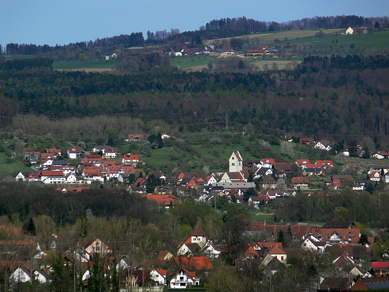
Markdorf (Baden)
Railway stop

Photo: CrazyD, CC BY-SA 3.0.
Markdorf (Baden) is a railway stop, which is situated 160 metres west of Widemann Obstgroßmarkt.
Untertor in Markdorf
Public building

Photo: Roland.h.bueb, CC BY-SA 4.0.
Untertor in Markdorf is a public building, which is situated 490 metres north of Widemann Obstgroßmarkt.
St. Nikolaus
Church

Photo: Androl, Public domain.
St. Nikolaus is a church, which is situated 460 metres north of Widemann Obstgroßmarkt.
Places in the Area
Nearby places include Burgstall Bürgberg (Markdorf) and Bermatingen.
Burgstall Bürgberg (Markdorf)
Hamlet

Photo: DKrieger, CC BY-SA 3.0.
Burgstall Bürgberg (Markdorf) is a hamlet.
Bermatingen
Village
 Bermatingen is a commune in the district of Bodensee in Baden-Württemberg in Germany. Bermatingen is situated 3½ km northwest of Widemann Obstgroßmarkt.
Ittendorf
Village

Photo: Wikimedia, CC BY-SA 3.0.
Ittendorf is a village, which is situated 4½ km southwest of Widemann Obstgroßmarkt.
Widemann Obstgroßmarkt
- Categories: building, office, business, and industry
- Location: Markdorf, Bodenseekreis, Tübingen Region, Baden-Württemberg, Germany, Central Europe, Europe
- View on OpenStreetMap
Latitude
47.71661° or 47° 42′ 60″ northLongitude
9.39089° or 9° 23′ 27″ eastLevels
3Open location code
8FVFP98R+J9OpenStreetMap ID
way 121265364OpenStreetMap feature
building=industrialOpenStreetMap feature
office=companyOpenStreetMap attribute
roof-shape=flat
This page is based on OpenStreetMap, Wikidata, and Wikimedia Commons.
We’d love your help improving our open data sources. Thank you for contributing.
Satellite Map
Discover Widemann Obstgroßmarkt from above in high-definition satellite imagery.
Notable Places Nearby
Highlights include Neuapostolische Kirche and Markdorf (Baden).
Nearby Places
Explore places such as Fahrschule Obser and Park+Ride Bahnhof Markdorf.
Baden-Württemberg: Must-Visit Destinations
Delve into Stuttgart, Heidelberg, Karlsruhe, and Mannheim.
Curious Industrial Buildings to Discover
Uncover intriguing industrial buildings from every corner of the globe.
About Mapcarta. Data © OpenStreetMap contributors and available under the Open Database License". Text is available under the CC BY-SA 4.0 license, except for photos, directions, and the map. Photo: Traveler100, CC BY-SA 3.0.