Colegio San Francisco Solano
Colegio San Francisco Solano is a school in Nervión, Seville, Andalusia. Colegio San Francisco Solano is situated nearby to the police station Policía Nacional, as well as near the public building Distrito Nevión.| Tap on a place to explore it |
Places of Interest Nearby
Highlights include Ramón Sánchez-Pizjuán Stadium and Gran Plaza.
Ramón Sánchez-Pizjuán Stadium
Stadium

Photo: Niels98, CC BY-SA 4.0.
The Ramón Sánchez-Pizjuán Stadium is a football stadium in Seville, Spain. It is the home stadium of Sevilla, and is named after the club's former president, Ramón Sánchez-Pizjuán. Ramón Sánchez-Pizjuán Stadium is situated 530 metres west of Colegio San Francisco Solano.
Gran Plaza
Metro station

Photo: Hayko, CC BY-SA 4.0.
Gran Plaza is an underground station of the Seville Metro on the line 1. It is located at the intersection of Eduardo Dato and Cruzcampo avenues, in the neighborhood of Nervión. Gran Plaza is situated 380 metres southwest of Colegio San Francisco Solano.
Sevilla Santa Justa Railway Station
Railway station

Photo: Paul Hermans, CC BY-SA 3.0.
Seville–Santa Justa railway station is the major railway station of the Spanish city of Seville, Andalusia. It was opened in 1991 with the inauguration of the Madrid–Seville high-speed rail line, and serves around 12.7 million passengers a year. Sevilla Santa Justa Railway Station is situated 1¼ km northwest of Colegio San Francisco Solano.
Places in the Area
Nearby places include Nervión and San Pablo C.
Nervión
Neighborhood

Photo: CarlosVdeHabsburgo, CC BY-SA 4.0.
Nervión is a district of Seville, Spain. It lies to the east of the city centre, to the north of the Distrito Sur, to the south of San Pablo-Santa Justa and to the west of Cerro-Amate.

Buhaira Gardens
Neighborhood
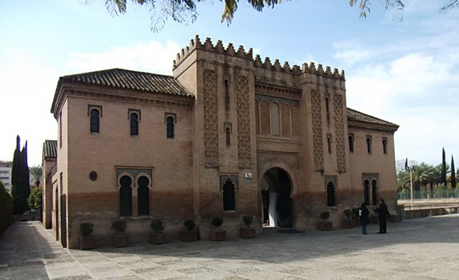
Photo: 888pablo888, CC BY-SA 3.0.
The Buhaira Gardens, also known as the Buhaira Palace or the Buḥayra, is a former Almohad garden and palace in Seville, Spain. It was created in the 12th century.
Colegio San Francisco Solano
Latitude
37.3847° or 37° 23′ 5″ northLongitude
-5.96467° or 5° 57′ 53″ westOpen location code
8C9P92MP+V4OpenStreetMap ID
way 1213464396OpenStreetMap feature
amenity=school
This page is based on OpenStreetMap, Wikidata, and Wikimedia Commons.
We’d love your help improving our open data sources. Thank you for contributing.
Satellite Map
Discover Colegio San Francisco Solano from above in high-definition satellite imagery.
Notable Places Nearby
Highlights include Policía Nacional and Distrito Nevión.
Nearby Places
Explore places such as Avd. Cruz del Campo (Alej. Collantes) and ASPY Prevención Sevilla.
Curious Schools to Discover
Uncover intriguing schools from every corner of the globe.
About Mapcarta. Data © OpenStreetMap contributors and available under the Open Database License". Text is available under the CC BY-SA 4.0 license, except for photos, directions, and the map. Photo: Wikimedia, CC BY-SA 4.0.