Refugio de Sediles
Refugio de Sediles is a shelter in Belmonte de Gracián Municipality, Saragossa, Aragon. Refugio de Sediles is situated nearby to the spring Fuente del Chorrillo, as well as near the peak Santa Brígida.| Tap on a place to explore it |
Places in the Area
Nearby places include Sediles and El Frasno.
Sediles
Village

Photo: Jaime Calatayud, CC BY-SA 4.0.
Sediles is a municipality located in the Comunidad de Calatayud, province of Zaragoza, Aragon, Spain. According to the 2004 census, the municipality has a population of 93 inhabitants. The town is located at the feet of the Sierra de Vicort range. Sediles is situated 3½ km southwest of Refugio de Sediles.
El Frasno
Village
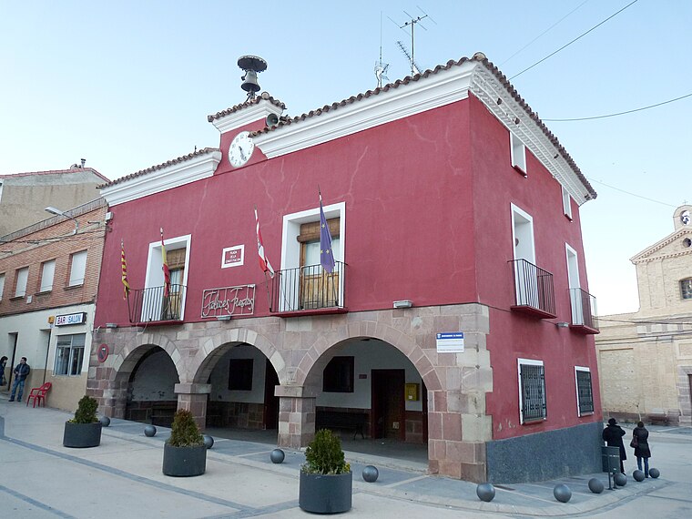
Photo: Ecelan, CC BY-SA 3.0.
El Frasno is a municipality in the province of Zaragoza, Aragon, Spain. According to the 2004 census, the municipality had a population of 476 inhabitants. El Frasno is situated 5 km north of Refugio de Sediles.
Villalba de Perejil
Village

Photo: Jaime Calatayud, CC BY-SA 4.0.
Villalba de Perejil is a municipality located in the province of Zaragoza, Aragon, Spain. According to the 2004 census, the municipality has a population of 123 inhabitants. Villalba de Perejil is situated 6 km southwest of Refugio de Sediles.
Refugio de Sediles
- Type: Shelter
- Category: building
- Location: Belmonte de Gracián Municipality, Saragossa, Aragon, Northern Spain, Spain, Iberia, Europe
- View on OpenStreetMap
Latitude
41.37092° or 41° 22′ 15″ northLongitude
-1.50496° or 1° 30′ 18″ westOpen location code
8CHW9FCW+92OpenStreetMap ID
way 1214303747OpenStreetMap feature
amenity=shelterOpenStreetMap feature
building=yes
This page is based on OpenStreetMap, Wikidata, and Wikimedia Commons.
We’d love your help improving our open data sources. Thank you for contributing.
Satellite Map
Discover Refugio de Sediles from above in high-definition satellite imagery.
Notable Places Nearby
Highlights include Fuente del Chorrillo and Santa Brígida.
Nearby Places
Explore places such as Refugio Sediles and Centro Emisor de Inoges - Sediles.
Aragon: Must-Visit Destinations
Delve into Zaragoza, Huesca, Teruel, and Calatayud.
Curious Shelters to Discover
Uncover intriguing shelters from every corner of the globe.
About Mapcarta. Data © OpenStreetMap contributors and available under the Open Database License". Text is available under the CC BY-SA 4.0 license, except for photos, directions, and the map. Photo: Jiuguang Wang, CC BY-SA 3.0 es.