Liceo 70
Liceo 70 is a school in Municipio A, Montevideo Department which is located on Avenida Doctor Santín Carlos Rossi. Liceo 70 is situated nearby to the university APEX Cerro, as well as near the recreation area Plaza Luis Trocoli.| Tap on a place to explore it |
Places of Interest Nearby
Highlights include Estadio Luis Tróccoli and Cerro Bus Terminal.
Estadio Luis Tróccoli
Stadium

Photo: Sz75, CC BY-SA 4.0.
Estadio Luis Tróccoli is a multi-use stadium in Montevideo, Uruguay. It is currently used primarily for football matches and is the home of CA Cerro. The stadium holds 25,000 spectators and was built in 1964. Estadio Luis Tróccoli is situated 440 metres north of Liceo 70.
Cerro Bus Terminal
Bus station
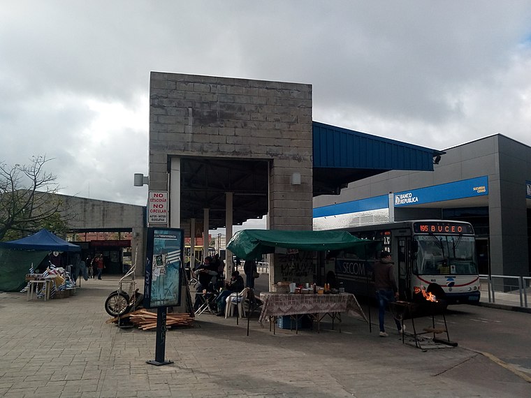
Photo: Ganímedes, CC BY-SA 4.0.
Cerro Bus Terminal is a bus station, which is situated 360 metres southeast of Liceo 70.
Parque Tecnológico Industrial del Cerro
 Parque Tecnológico Industrial del Cerro is situated 240 metres northeast of Liceo 70.
Places in the Area
Nearby places include El Tobogán and La Paloma.

Tres Ombúes
Suburb

Photo: Hoverfish, CC BY-SA 3.0.
Tres Ombúes - Pueblo Victoria is a barrio of Montevideo, Uruguay.
Liceo 70
- Type: School
- Address: Avenida Doctor Santín Carlos Rossi, La Teja, Montevideo, Montevideo
- Category: education
- Location: Municipio A, Montevideo Department, Uruguay, South America
- View on OpenStreetMap
Latitude
-34.87128° or 34° 52′ 17″ southLongitude
-56.25251° or 56° 15′ 9″ westOpen location code
48Q54PHW+FXOpenStreetMap ID
way 1215672339OpenStreetMap feature
amenity=school
This page is based on OpenStreetMap, Wikidata, and Wikimedia Commons.
We’d love your help improving our open data sources. Thank you for contributing.
Satellite Map
Discover Liceo 70 from above in high-definition satellite imagery.
Notable Places Nearby
Highlights include APEX Cerro and Plaza Luis Trocoli.
Nearby Places
Explore places such as 1712 and 1716.
Uruguay: Must-Visit Destinations
Delve into Montevideo, Salto, Colonia, and Punta del Este.
Curious Places to Discover
Uncover intriguing places from every corner of the globe.
About Mapcarta. Data © OpenStreetMap contributors and available under the Open Database License". Text is available under the CC BY-SA 4.0 license, except for photos, directions, and the map. Photo: Elemaki, CC BY 3.0.